



Avsa - Idrska planina (General)
1 h 30 min




 Weather
 Nearest webcam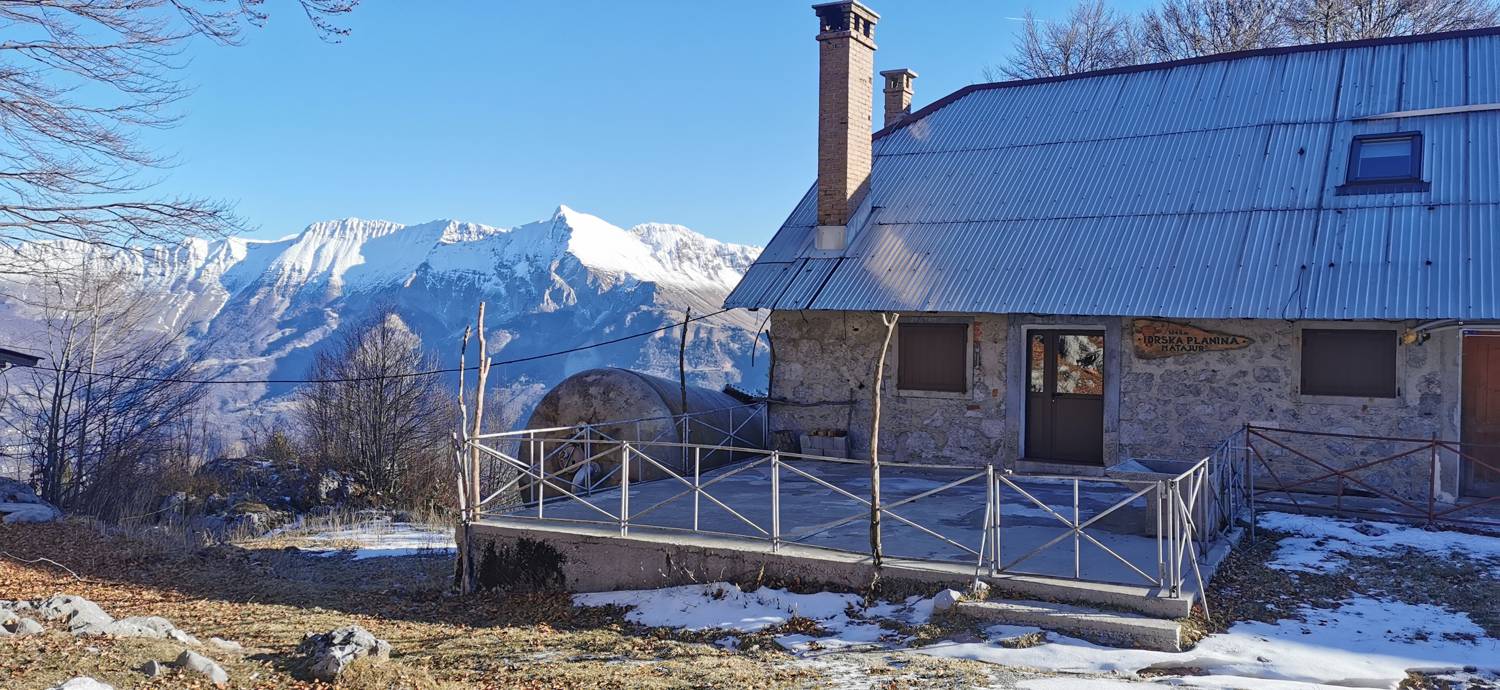
| Rating: | |
| Country: | Slovenia |
| Mountain range: | Julian Alps |
| Trailhead: | Avsa (880 m) |
| Destination: | Idrska planina (1250 m) |
| Trailhead latitude/longitude: | 46.1985 / 13.5846 |
| Destination latitude/longitude: | 46.2126 / 13.5649 |
| Difficulty: | Easy marked route  |
| Recommended equipment: | Hiking poles Hiking shoes Water |
Drive to Most na Soči and follow the main road past Modrejce and Kozaršče. After Kozaršče, you will come to a fork, which you will recognise by the Gostol factory just at the fork. Turn right and continue past Volče towards Kobarid and Bovec. In the village of Idrsko, turn left at the first major fork and follow the road to the village of Livek, where you turn right at the fork, where you will also be directed by the signpost for Matajur. Continue to the village of Avsa, and in the village continue driving only as far as a small parking area on the right side of the road, which you will recognise by the signs. Park here.
Trail description:On foot, follow the forest track, which starts to climb immediately. The first ascent through the forest is followed by a small meadow. Just after the meadow, the path leads into the woods again and becomes a little steeper. When the path rises to the point where we are already enjoying beautiful views, the terrain flattens out a little and, after a while, a pleasant path leads us to the next grassy slope. We climb up the meadow until we reach a fenced pasture for horses. Here the trail turns slightly to the left and leads us just below Srednji vrh to a macadam road. Join the road and follow it for a short distance to a signpost pointing to the right, back to the grass track. There is a short climb, and then the path straightens out again, opening up a spectacular view of Krn. Cross the pasture gate and descend the steep meadow in a zig-zag to Idrska planina. If you don't want to go down the steep slope, continue left along the fence, for a longer distance, past the hut and all the way to the macadam road, where you turn right and follow the road down to the mountain.
Additional tips:No additional tips.


