Čadrg - Tolminski Kuk (General)
Grebenska pot
- Hiking time4 h 30 min
- Difficulty: Difficult unmarked route
- Destination:2058 m
- Elevation difference+1376 m
Getting to the trailhead:
Drive to Tolmin and turn right at the main traffic lights towards Zatolmin (from Škofja Loka turn right, from Nova Gorica turn left). When you get to Zatolmin, follow the main road and the direction to Čadrg and Tolminska korita. Follow the road, all the way past the Tolminska korita Café, over the Hudičev Bridge and on along the winding, ascending road, past Dante's Cave to the village of Zadlaz - Čadrg. Continue along the road into the village until there are houses along the road. Once the houses are passing, you will soon see a sharp bend to the left - turn here. Continue along the road for a while until you reach the Pr Jakču summer garden. From here, continue along the narrow, ascending road until you reach the village of Čadrg. Park in the small parking area by the road in front of the last farm in the village.
Trail description:
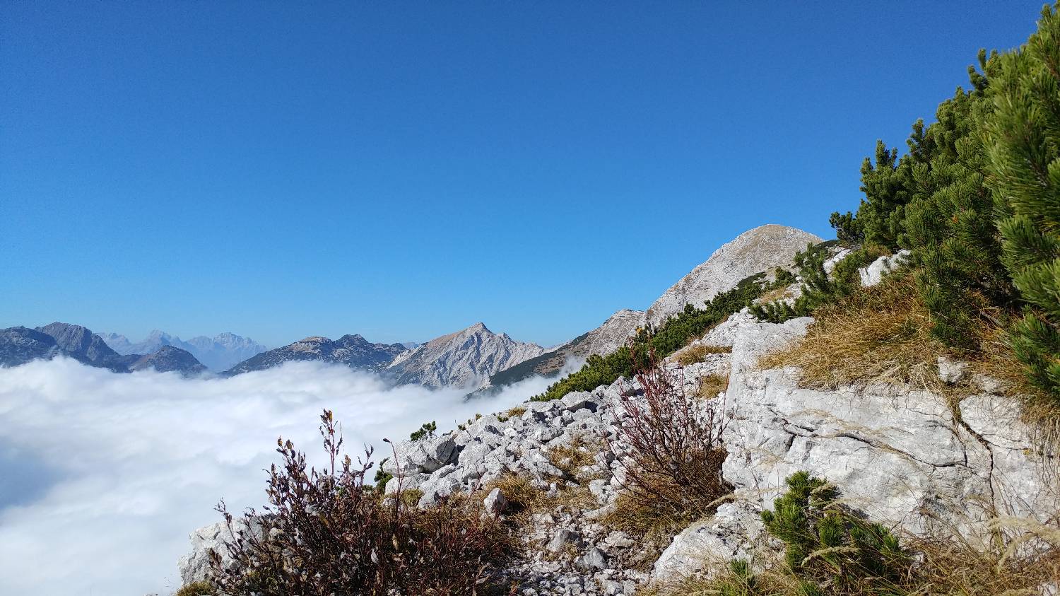
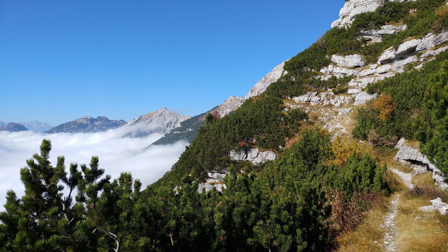
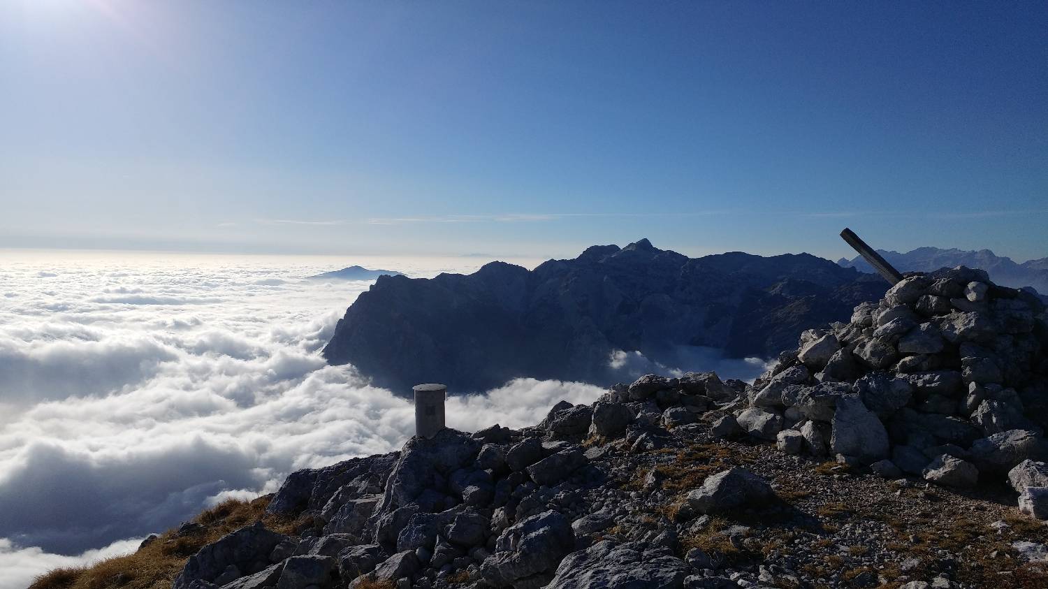
Continue on foot along the road past the farm. When the road ends, go past the iron gates and continue along the track, which will soon lead you to a crossroads marked with a signpost for Planina Kal. Turn right and immediately afterwards enter a meadow and climb up to another gate leading out of a fenced pasture for cattle. The path continues into the woods and immediately starts to climb steeply. The ascent takes a long time, but keep following the signs pointing you towards Planina Kal. The longer, steeply ascending path leads us to the top of the 'ridge' and briefly lays down. Here we come to a crossroads, identified by a wire fence on our right. Turn left onto an unmarked path which climbs moderately close to the top of the ridge. The path soon becomes a little more dangerous as it runs right next to a precipice. The precipice area lasts for a few minutes before the path turns inland again. Then it is a walk on mainly level ground, which soon leads to a small hunting lodge. Continue past the hut, along a path leading out of the forest towards a meadow. Here we come to another fork, where we join another path from Čadrgo towards Grušnica. Keep to the left path and follow it back into the forest. Continue along the wooded path, which soon starts to climb again. After a few minutes of walking, a winding ascent leads us out of the forest, where we have a beautiful view of Planina Kal. Continue the climb up to the mountain. Just before Planina Kal, the forest ends and we come to a vast meadow. Soon you will see the three houses that mark Planina Kal. The path soon begins to climb in a winding way to Migovec, on our left. As the path climbs to the top, we step onto a ridge through which there is always a strong breeze. Already here, we have an exceptional view. We continue to the left, towards Kuku, which rises at the end of the ridge. A pleasant walk along the ridge awaits us until we reach the foot of the ridge before the main or last ascent to Kuk. This part of the route is on a fairly flat grassy surface, which ascends and descends gently a few times. The last climb is a very steep path on rocks, which can be quite draggy, especially if fatigue has set in. The reward for climbing to the top is the spectacular view that opens up. You can see the whole of Gorenjska, as well as the Julian Mountains, both near and far away. There is a registration book and a stamp at the top.
Additional tips:
No additional tips.
Related trails
Tolminske Ravne - Tolminski Kuk
Čadrg - Tolminski Kuk