



Gabrje (Dolenjska) - Planinski dom pri Gospodični (General)
1 h 10 min




 Weather
 Nearest webcam
| Rating: | |
| Country: | Slovenia |
| Mountain range: | The Zasavje-Posavje Hills and the Dolenjska Region |
| Trailhead: | Gabrje (Dolenjska) (395 m) |
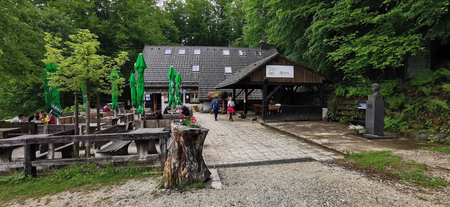
| Destination: | Planinski dom pri Gospodični (822 m) |
| Trailhead latitude/longitude: | 45.7778 / 15.2754 |
| Destination latitude/longitude: | 45.7664 / 15.297 |
| Difficulty: | Easy marked route  |
| Recommended equipment: | Hiking poles Hiking shoes Water |
From Novo Mesto, head towards Ratež. Here turn right towards Gabrje. Once in the village, continue driving along the main road, past the houses, until you reach a large parking lot, where you park.
Trail description:On foot, we focus on a narrow forest path where we are also directed by a signpost. Follow the path up to the macadam road, which we join and turn right. Walk along it for a short distance, until the next marked fork, where you turn left and continue climbing along the narrow path. There is a longer climb along the path, following the signs all the way to the Mountain Home at Gospodični.
Additional tips:No additional tips.


