



Zadlaz - Čadrg - Tolminski Kuk (General)
4 h 50 min




 Weather
 Nearest webcam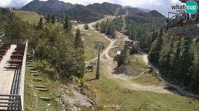
| Rating: | |
| Country: | Slovenia |
| Mountain range: | Julian Alps |
| Trailhead: | Zadlaz - Čadrg (413 m) |
| Destination: | Tolminski Kuk (2058 m) |
| Trailhead latitude/longitude: | 46.203 / 13.7452 |
| Destination latitude/longitude: | 46.2606 / 13.7569 |
| Difficulty: | Easy marked route  |
| Recommended equipment: | Hiking poles Hiking shoes Water Snack |
Drive to Tolmin and turn right at the main traffic lights towards Zatolmin (from Škofja Loka turn right, from Nova Gorica turn left). When you get to Zatolmin, follow the main road and the direction to Čadrg and Tolminska korita. Follow the road, all the way past the Tolminska korita Café, over the Hudičev Bridge and on along the winding, ascending road, past Dante's Cave to the village of Zadlaz - Čadrg. Continue along the road into the village until there are houses along the road. Once the houses end, you will soon see a sharp bend to the left - turn here. Continue along the road for a while until you reach the Pr Jakču summer garden. Just after it, you will see a small, unmarked car park on your right, where you should park.
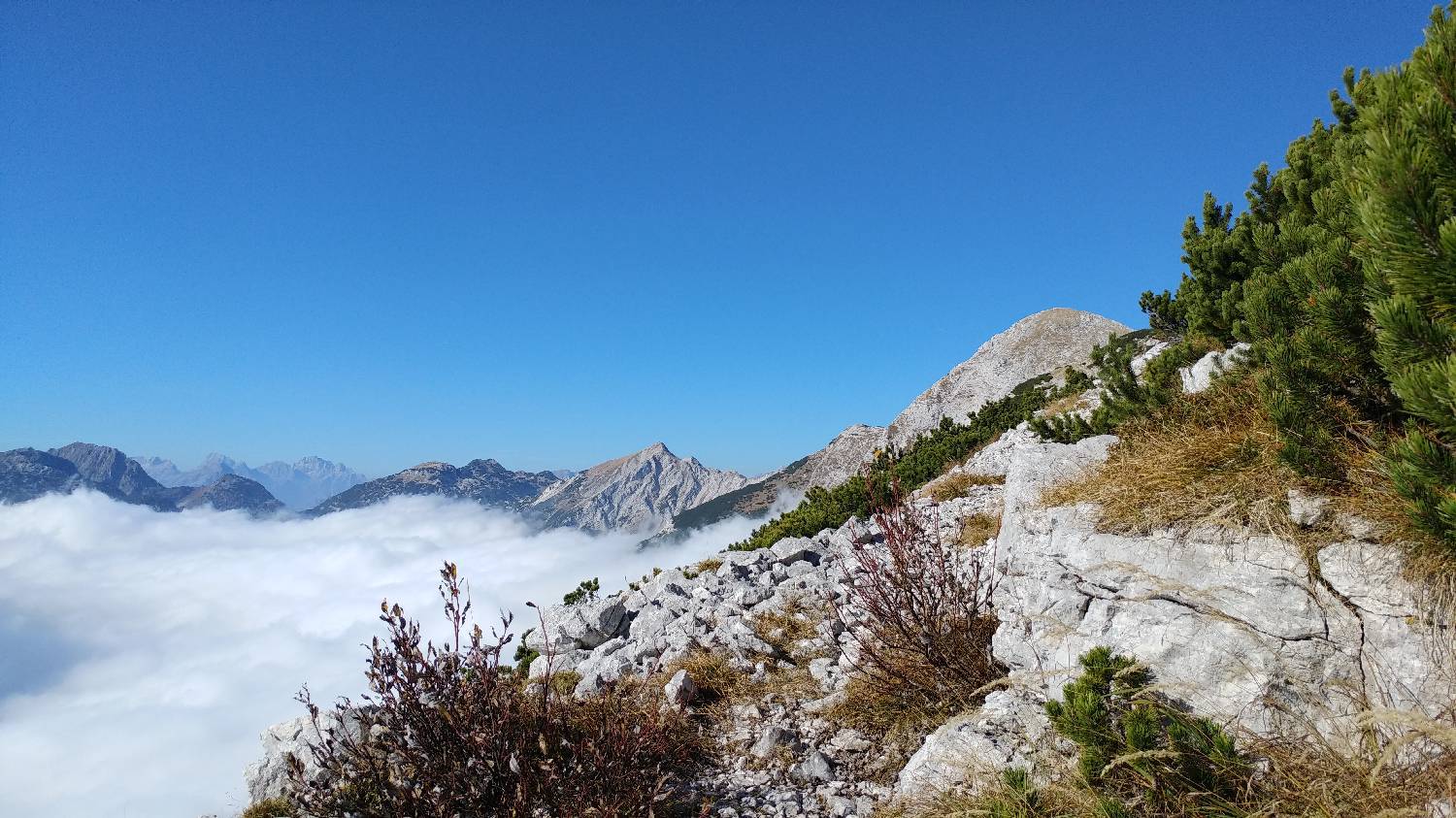
Trail description:Shortly after the Pr Jakču summer garden, you will see a car park on the road on your right. Continue on foot, and from the car park you will see a narrow path that turns into a meadow. Follow it and it will soon lead you into the woods. Here the path turns once, and you will see a signpost with a cross. The forest track will lead you to the top of Kobilnik. You will be able to turn off twice more, again warned by a signpost with a cross. You will recognise the top of Kobilnik by the cross. From here, continue along the path, which is sloping for quite some time. At first it runs through woods, but later it leads to meadows. When you reach the meadows, you start walking along a ridge with alternating ascents and descents. When you reach the edge of the forest, you will cross a pasture fence, immediately followed by a fork. Keep to the right-hand path, which first drops slightly downhill for a few dozen metres, then flattens out and continues like this for a few minutes. Once you have passed a small water system on your left, the path starts to climb again, and the ascent continues until you reach a meadow where there is a crossroads. Take the path to the right, which leads to Planina Kal. It soon turns back into the forest. Continue on the wooded path, which soon starts climbing again. After a few minutes of walking, a winding ascent leads you out of the forest and you have a beautiful view of Planina Kal. Continue your ascent towards the mountain. From the mountain, continue along the path past the huts. The path soon starts to climb in a winding manner to Migovec, on your left. As the path climbs to the top, you reach a ridge through which there is always a strong wind. Already here, we have an exceptional view. We continue to the left, towards Kuku, which rises at the end of the ridge. There is still a pleasant walk along the ridge to the foot before the main or last ascent to Kuk. This part of the route is on a fairly flat grassy surface, which rises and falls gently a few times. The last climb is a very steep path on rocks, which can be quite draggy, especially if fatigue has set in. The reward for climbing to the top is the spectacular view that opens up. You can see the whole of Gorenjska, as well as the Julian Mountains, both near and far away. There is a registration book and a stamp at the top.
Additional tips:No additional tips.
![[object Object] - [object Object] main photo](https://api.mountainsgeek.com/media/20171020_160717.jpg)
![[object Object] - [object Object] main photo](https://api.mountainsgeek.com/media/20171020_160717_Z4szozw.jpg)
![[object Object] - [object Object] main photo](https://api.mountainsgeek.com/media/20171020_143855_NXJPxnA.jpg)


