



Kurn'k - Cerkev Svetega Ivana nad Divjimi babami (General)
1 h 0 min




 Weather
 Nearest webcam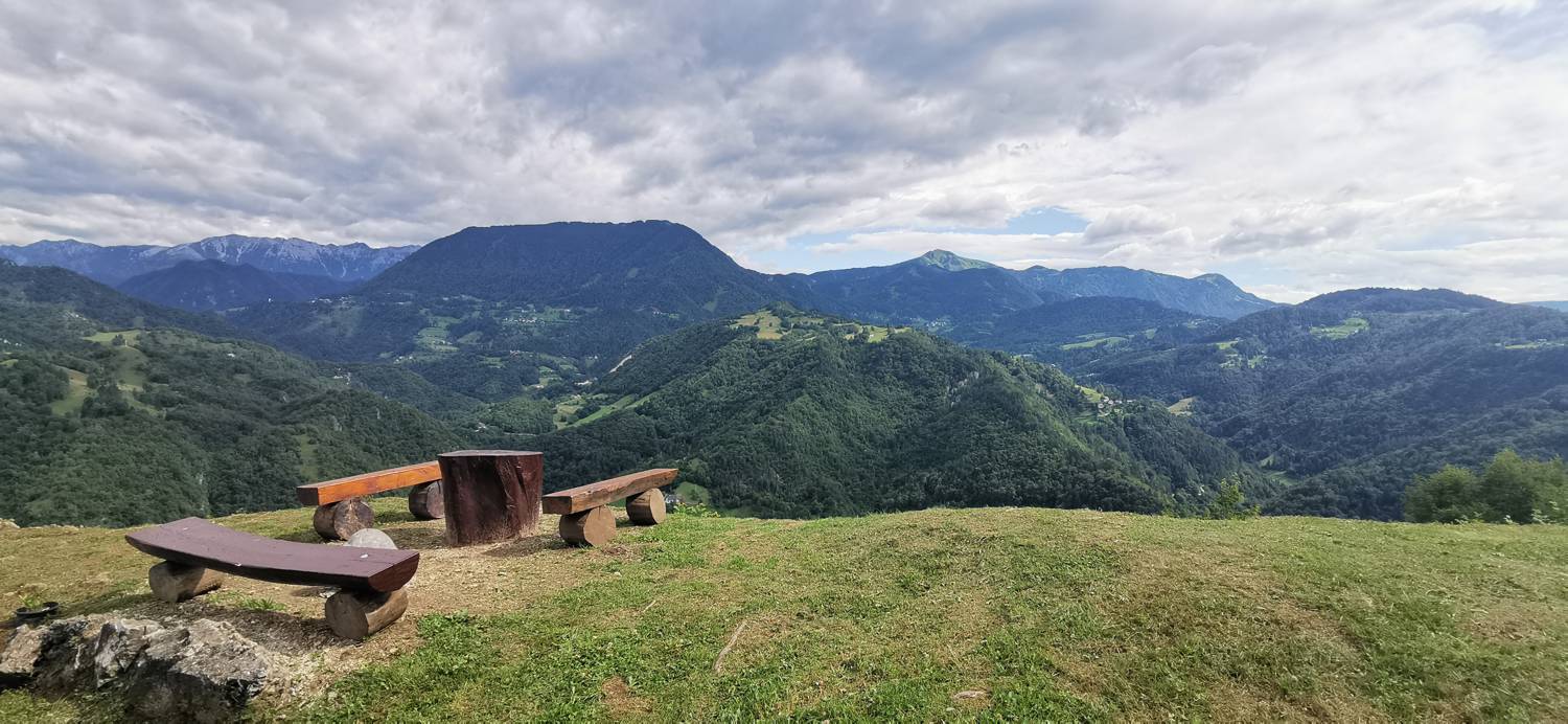
| Rating: | |
| Country: | Slovenia |
| Mountain range: | The Škofja Loka and Cerkno Hills and Jelovica |
| Trailhead: | Kurn'k (255 m) |
| Destination: | Cerkev Svetega Ivana nad Divjimi babami (573 m) |
| Trailhead latitude/longitude: | 46.1103 / 13.933 |
| Destination latitude/longitude: | 46.1102 / 13.9175 |
| Difficulty: | Easy marked route  |
| Recommended equipment: | Hiking shoes Water |
From Tolmin, head towards Most na Soči. Turn left here and follow the main road towards the village of Reka. Continue driving to the Kurn'k guest house, where you park.
Trail description:Cross the bridge over the river on foot, where you will be directed by the signpost for Šebrelje. After the bridge, continue along the forest path until you reach a crossroads, where you keep right for the Rijeka. Continue ascending until the path is laid or begins to descend slightly. Here, take the left path and cross a small meadow, where there is also a hayloft. When the path leads into the woods again, we soon come to another bridge which has to be crossed. You will come to a holiday house, and find the way on the right side of it, on a grassy slope, where there will also be a signpost for Sv. Ivan. The path leads into the woods again, where it splits after a short walk. Keep to the left path, which soon leads to a precipitous area protected by a stile. After this fork, we reach a road where we turn right. It is only a few minutes' walk to the church.
Additional tips:No additional tips.
![[object Object] - [object Object] main photo](https://api.mountainsgeek.com/media/IMG_20200718_095825_3dpz66J.jpg)


