



Planina Krnica - Plešivec (nad Bovcem) (General)
- Hiking time2 h 30 min
- Difficulty: Difficult unmarked route
- Destination:1962 m
- Elevation difference+635 m
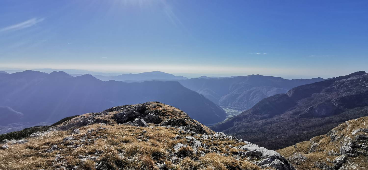
Getting to the trailhead:
From Tolmin, head towards Bovec. Drive into the centre of Bovec and turn left. It is a longer drive to the B station to Kanin. The road will turn to gravel shortly after the fork where the road to the Virje waterfall turns left. Follow it all the way to the small car park on the Krnica mountain.
Trail description:
Just a few metres further on from the car park, a narrow marked grass track will branch off to your left. Walk across the meadow, then through the copse, then back onto the meadow, passing a huge rock in the middle of the meadow on your right. Shortly after the rock, as you climb a small incline, an unmarked, slightly less visible path will branch off to the right, and you should turn off. From here, continue to the right along the path that has made a place for itself between the rocky slope and the upper forest boundary. After this, walk through the copse and on to the meadows, which are strewn with rocks. There is a slightly more precipitous part, protected by a stile, and then the path begins to climb in a winding manner, first on a grassy slope and later on a rubble slope. After the rubbly area, you will again reach a grassy area, which leads you towards a rocky saddle. Soon, as the path lays down and the grass is replaced by rocks, a path will branch off to the right, where you turn. There is a winding climb up a precipitous section to the top of the ridge, where the path turns left and soon leads to the summit.
Additional tips:
No additional tips.

