



Planina Srednica - Planina Prode (General)
0 h 45 min




 Weather
 Nearest webcam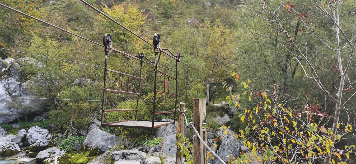
| Rating: | |
| Country: | Slovenia |
| Mountain range: | Julian Alps |
| Trailhead: | Planina Srednica (430 m) |
| Destination: | Planina Prode (560 m) |
| Trailhead latitude/longitude: | 46.2381 / 13.7232 |
| Destination latitude/longitude: | 46.2517 / 13.7326 |
| Difficulty: | Easy marked route  |
| Recommended equipment: | Hiking shoes Water |
Drive into Tolmin and at the main traffic lights turn towards the village of Zatolmin. Once in Zatolmin, turn right after the Zatolmin guesthouse towards Tolminski korite. From here, drive just a few dozen metres and turn left at the next possible fork, just before the Gugala cheese factory. From here on, stick to the road, which becomes a dirt road behind St Peter's Church. A longer drive through the forest follows, which after about half an hour leads us to a fork where the road to Sv. Duh na Javorci branches off to the left, and we continue straight on for a few more tens of metres until we reach the roadblock in front of which we park.
Trail description:From the car park, continue straight ahead on the dirt road, past the barrier. You will soon pass the Polog mountain and continue along the road until you reach a crossroads, which is located shortly at the entrance to the forest. Turn right towards Mount Prode. Follow the path quickly down to the river and the cart to cross it. There is a longer climb through a less wooded area. The terrain becomes slightly flatter as you re-enter the forest, here you pass former military bunkers, and then you reach the Prode mountain.
Additional tips:No additional tips.


