



Kobarid (center) - Slap Svino (General)
0 h 20 min




 Weather
 Nearest webcam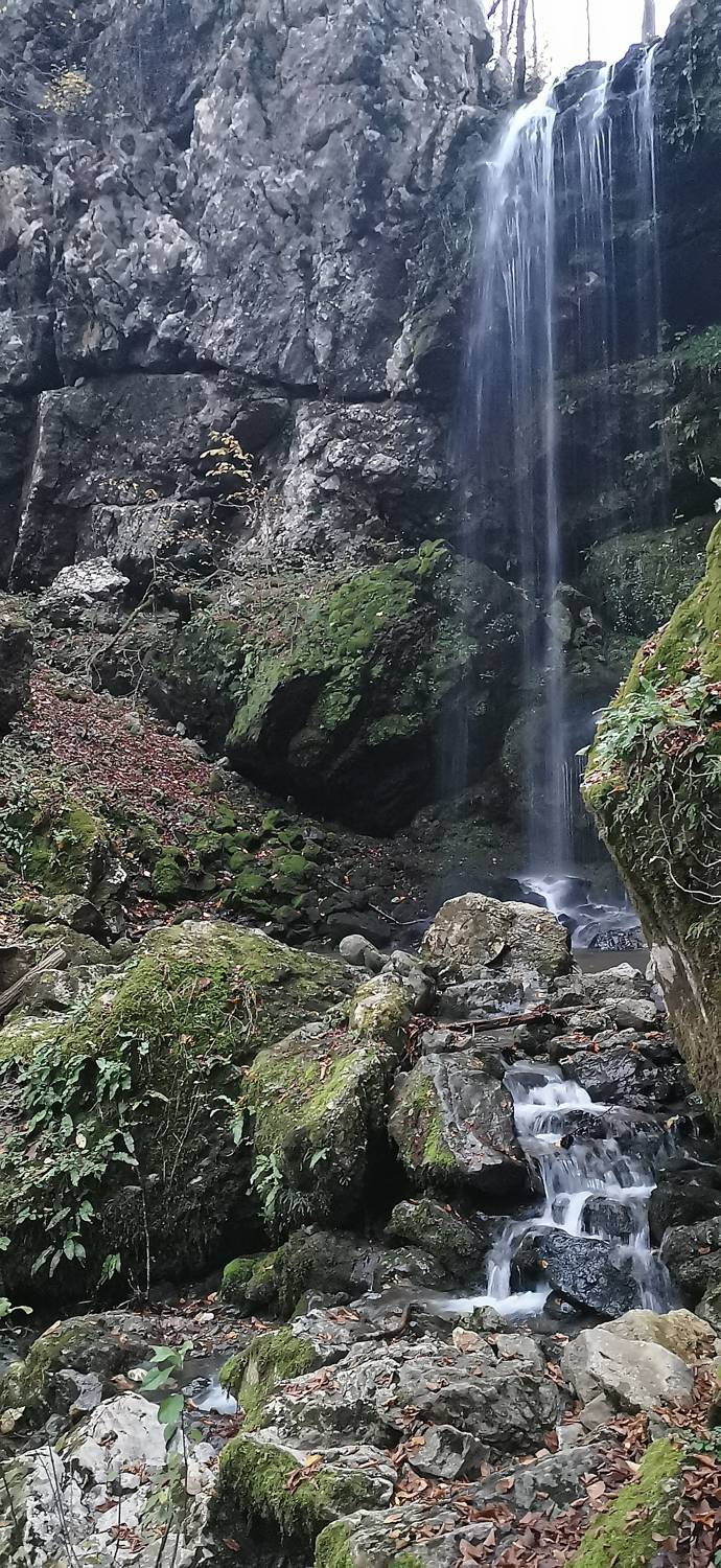
| Rating: | |
| Country: | Slovenia |
| Mountain range: | Julian Alps |
| Trailhead: | Kobarid (center) (235 m) |
| Destination: | Slap Svino (240 m) |
| Trailhead latitude/longitude: | 46.2474 / 13.5768 |
| Destination latitude/longitude: | 46.241 / 13.5699 |
| Difficulty: | Easy marked route  |
| Recommended equipment: | Hiking shoes |
From Tolmin, head towards Kobarid. In Kobarid, continue along the main road, past Petrol and past the right turn towards the Planika dairy, to a major T-junction, where you turn left and follow the road to the first possible turn off to the right. Continue along the street for just a few dozen metres, when you will see a large parking lot on your left, where you park.
Trail description:From the car park, follow the road from where you came. When you join the wider road, turn right and then cross the main road at the end of the road, at the fork again. Here you will see a signpost for the Gams Circular Route. At the end of the street, turn right and continue to the end of the road, then cross a small bridge to the left, after which you will join a grassy track. Walk along this to another bridge, cross it again and turn left. Follow the track all the way to the road. Turn right at the road and walk to the first bend to the right, where a grass track branches off to the left and is joined. The track leads into the woods and splits. Take the left path and you will soon reach a waterfall.
Additional tips:No additional tips.


