



Črni Kal - Blegoš (General)
Mimo koče
1 h 30 min




 Weather
 Nearest webcam
| Rating: | |
| Country: | Slovenia |
| Mountain range: | The Škofja Loka and Cerkno Hills and Jelovica |
| Trailhead: | Črni Kal (1103 m) |
| Destination: | Blegoš (1562 m) |
| Trailhead latitude/longitude: | 46.1724 / 14.1243 |
| Destination latitude/longitude: | 46.1648 / 14.1135 |
| Difficulty: | Easy marked route  |
| Recommended equipment: | Hiking shoes Water |
If you start from Ljubljana, take the Celovška road, past Medvode, all the way to Škofja Loka. Here, at a major junction, turn left towards Cerkno and Žire. Continue along the road to the next crossroads, where you turn right towards Poljany nad Škofjo Loko. From here on, the road leads towards Gorenjska Zetina (sign for Javorje). When you arrive in the village, continue driving through it and the road becomes macadam. You will drive along this road for a few minutes until it leads to a large crossroads with a large parking area. Park here.
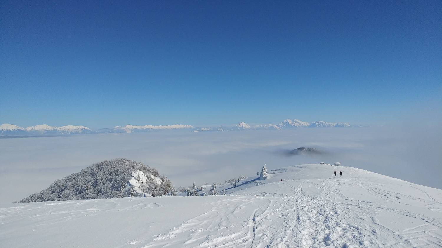
Trail description:Continue on foot along the road you came in on. But only a few metres, when a large sign for Blegoš directs us right onto a track. At first, we walk along a sloping path for quite some time. At the crossroads, we keep to the left path, which is also indicated by the signposts. The path then turns sharp left and starts to climb steeply towards the Cottage on Blegoš. After only a few minutes of walking, the forest will end and you will see the cottage in front of you. Continue to the left, past the hut. The path leads us over a grassy slope, from which we can enjoy wonderful views. The path then slopes steeply uphill, through a sparse forest. After this climb, the summit soon opens up.
Additional tips:No additional tips.
![[object Object] - [object Object] main photo](https://api.mountainsgeek.com/media/20180304_104329.jpg)


