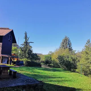


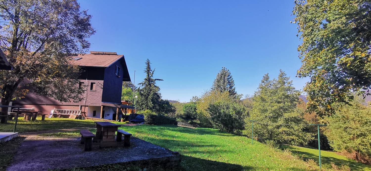
Deskle - Koča Paljevo (General)
0 h 55 min




 Weather
 Nearest webcam
| Rating: | |
| Country: | Slovenia |
| Mountain range: | The Goriška, Notranjska, and Snežnik Mountain Ranges |
| Trailhead: | Deskle (95 m) |
| Destination: | Koča Paljevo (343 m) |
| Trailhead latitude/longitude: | 46.0537 / 13.617 |
| Destination latitude/longitude: | 46.0439 / 13.6124 |
| Difficulty: | Easy marked route  |
| Recommended equipment: | Hiking shoes Water |
From Tolmin, head towards Nova Gorica. Drive to Deskle, where you can park in a large car park, a little further from the petrol station.
Trail description:Keep walking in the direction of Gorizia until you reach a zebra crossing the road and entering a narrow street. Go to the end of the alley, where it will split again. Keep left, which is also where the sign for the trim trail and the path of the three shrines directs you. Walk for about 10 metres and then take the path on the right as it climbs into the grove. The path soon turns sharp left and splits at a bend. Stay on the road, but only until the next fork, which is only a few dozen metres further on. Here, turn right onto a narrow path that leads into the woods. It is a long climb through the forest until you reach the road, which you then join and continue to the left to reach the hut, which is about a two-minute walk away.
Additional tips:No additional tips.