



Briše - Polhograjska gora (General)
Strma pot
1 h 20 min




 Weather
 Nearest webcam
| Rating: | |
| Country: | Slovenia |
| Mountain range: | The Polhograj Hills and Ljubljana |
| Trailhead: | Briše (375 m) |
| Destination: | Polhograjska gora (824 m) |
| Trailhead latitude/longitude: | 46.0615 / 14.2973 |
| Destination latitude/longitude: | 46.0709 / 14.2988 |
| Difficulty: | Easy marked route  |
| Recommended equipment: | Water |
If you are coming from Kranj on the motorway towards Ljubljana, turn right after the Šentviškis tunnel onto the Podutik exit. Just after the exit, turn right again onto the main road, which you follow for a longer distance. When you reach the village of Stranska vas, keep your eyes peeled, as a narrow road will soon branch off to the right and you will turn right onto it. The road will soon go out of the village. We continue driving, keeping to the left, the main road, at the first fork and turning right at the second (larger) fork. There is a longer drive along the road that will lead us to Polhov Gradec. Here, at a major fork, which you will recognise from the bus stop, turn sharp left and continue along the road to the village of Briše. As soon as you reach the village, you will see a signpost for Polhograjska Gora (Polhograjska Gora), which will direct you to the right, onto a narrow, ascending road. Turn here and follow the road to a small hamlet. When you reach the hamlet, keep to the left-hand side of the road and just a few dozen metres further on, when the road bends slightly, you will notice a small parking area by the roadside, where you park. Actually, it is a small gravel off-ramp by the road, where you can park.
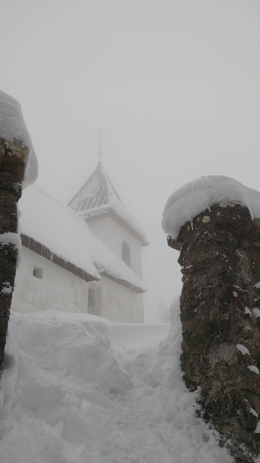
Trail description:From the small car park, a track immediately turns off into the forest. Follow the path up a few dozen metres, cross a small stream and turn left immediately afterwards. Follow the slowly ascending path for a longer distance until it leads to a major crossroads. Here, another path joins us from the left on Polhograjska Gora, and we turn right to continue on our way. From here on, the path is laid. After walking for some time, we will come to a resting place, which we will recognise by a table and benches. From here we continue to the right along the path, which first climbs slightly, then flattens out and, at a bend, drops slightly downhill. But only for a few metres. After that, it starts climbing again a little steeper and soon leads to a house. Continue past the house and you will immediately reach a crossroads. Turn left, onto the ascending path which, after only a few minutes' walk, will lead us to the church and also to our summit.
Additional tips:No additional tips.
![[object Object] - [object Object] main photo](/assets/images/default-no-image.webp)


