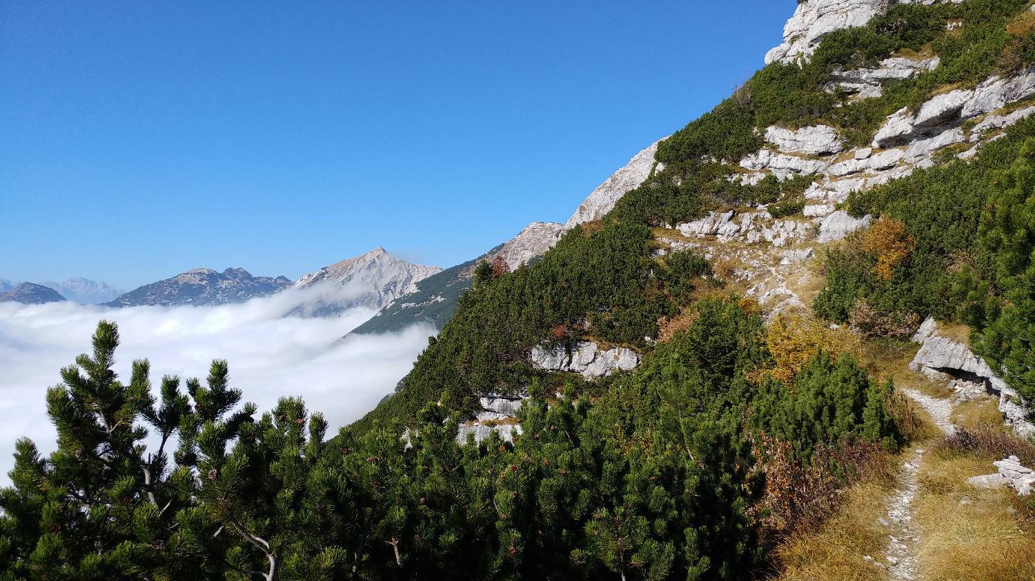
Čadrg - Tolminski Kuk (General)
- Hiking time4 h 30 min
- Difficulty: Easy marked route
- Destination:2058 m
- Elevation difference+1376 m
Getting to the trailhead:
Drive to Tolmin and, at the main traffic-light-controlled intersection, turn toward Zatolmin (turn right if coming from Škofja Loka, and left if coming from Nova Gorica). Once you arrive in Zatolmin, stay on the main road and follow the signs for Čadrg and the Tolmin Gorges. Drive along the road, past the Tolminska Korita snack bar, over Hudičev Bridge, and continue along the winding, uphill road, past Dante’s Cave to the village of Zadlaz–Čadrg. Continue along the road through the village as long as there are houses along the way. Once the houses end, you’ll soon notice a sharp left turn—turn here. Then continue along the road for a while, all the way to the Pr’ Jakču summer garden. From there, continue along the narrow, uphill road all the way to the village of Čadrg. Park in the small, well-maintained parking lot by the road, located in front of the last farm in the village.
Trail description:
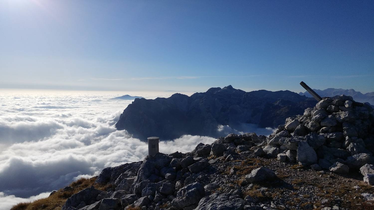
Continue on foot along the road that passes by the farm. When the road ends, go past the iron gate and continue along the dirt road, which will soon lead you to a fork in the road marked with a sign pointing toward Planina Kal. Turn right and immediately head onto the meadow, climbing up it to another gate leading out of the fenced-in pasture. The trail continues into the forest and immediately begins to climb more steeply. The ascent takes some time, and throughout, we follow the trail markers that guide us toward Planina Kal. A long, steeply ascending trail leads us to the top of the “ridge” and levels off briefly. Here we reach a fork in the trail, recognizable by the wire fence on our right. We continue straight ahead; after a few dozen meters, the trail first descends slightly, then levels off and continues in this manner for another few minutes. After passing a small stream on our left, the trail begins to climb again, and the ascent continues until we reach a meadow where another fork in the trail is located. We take the right-hand path, which leads toward Planina Kal. This path soon turns back into the forest. We continue along the forested trail, which soon begins to climb again. After a few minutes of walking, the winding ascent leads us out of the forest, where a beautiful view of Planina Kal opens up before us. We continue the ascent toward the mountain pasture, but we only cross it and keep going along the trail toward Tolminski Kuk. The trail soon begins a winding ascent up Migovec, on our left. Once the trail takes us all the way to the summit, we step onto the ridge, where the wind is always strong. Even here, an exceptional view opens up before us. We continue to the left, toward Kuk, which rises at the end of the ridge. Before the main—or final—ascent to Kuk, a pleasant stretch of walking along the ridge awaits us. This section of the trail runs along a fairly flat grassy surface that rises and falls slightly a few times. The final ascent is a very steep path over rocks that can feel quite long, especially if fatigue has already set in. The reward for reaching the summit is the exceptional view that opens up before us. We can see the entire Gorenjska region, as well as the nearby and distant Julian Alps. At the summit, there is a guestbook and a stamp.
Additional tips:
No additional tips.
Related trails
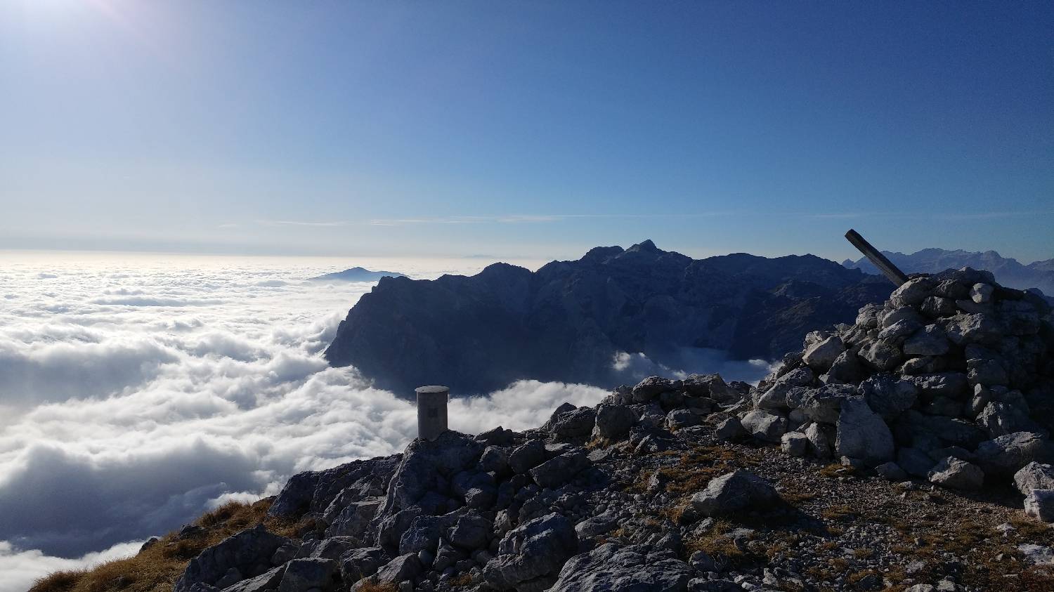
Tolminske Ravne - Tolminski Kuk
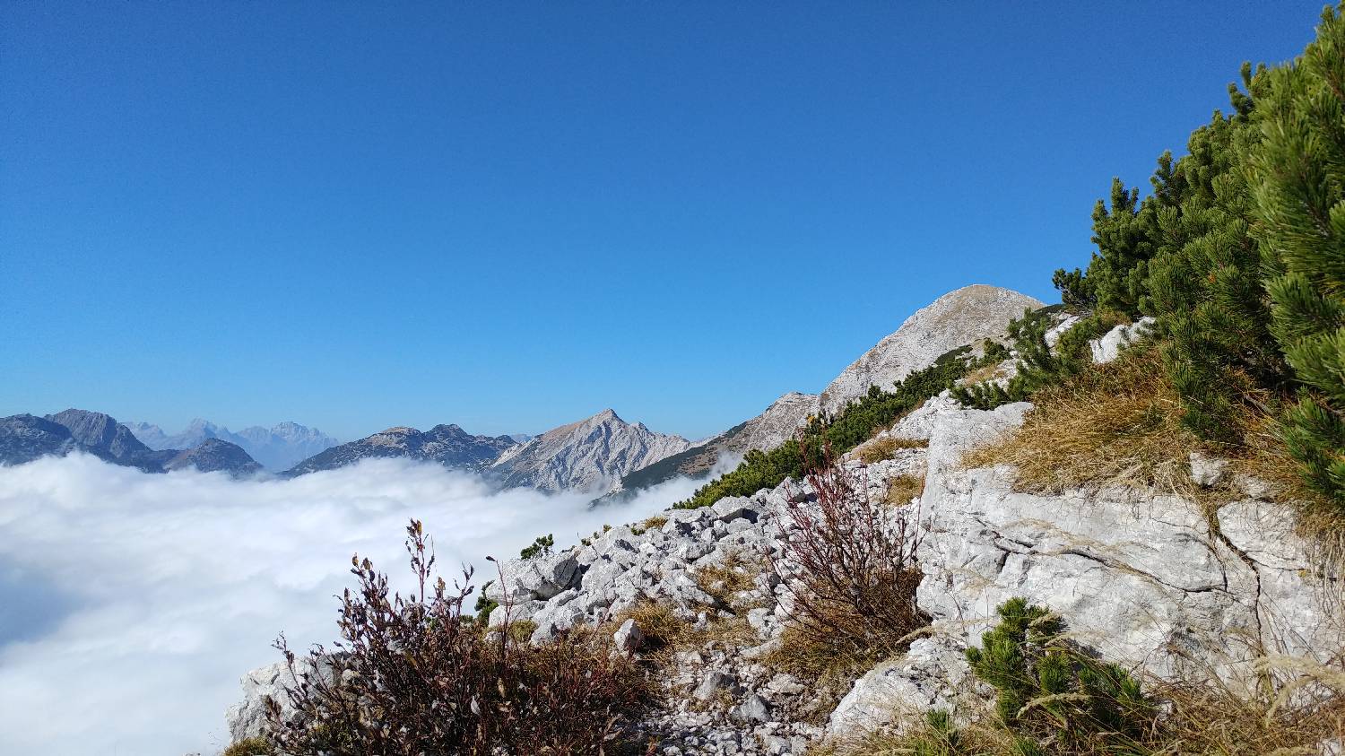
Zadlaz - Čadrg - Tolminski Kuk