

Plave - Prižnica (General)
Po cesti
0 h 50 min




 Weather
 Nearest webcam
| Rating: | |
| Country: | Slovenia |
| Mountain range: | The Goriška, Notranjska, and Snežnik Mountain Ranges |
| Trailhead: | Plave (85 m) |
| Destination: | Prižnica (383 m) |
| Trailhead latitude/longitude: | 46.0412 / 13.5912 |
| Destination latitude/longitude: | 46.044 / 13.5993 |
| Difficulty: | Easy unmarked route  |
| Recommended equipment: | Hiking shoes |
From Tolmin, head towards Nova Gorica. Drive to the village of Plave, where you turn left for Paljevo. Follow the road uphill, with one turn to the left, and then a little further on, before the second turn, you will see parking, a bench and a teaching board on your left - park here.
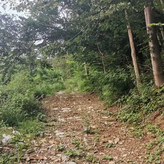
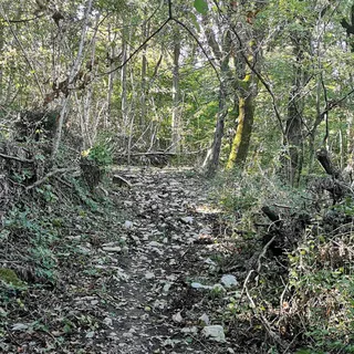
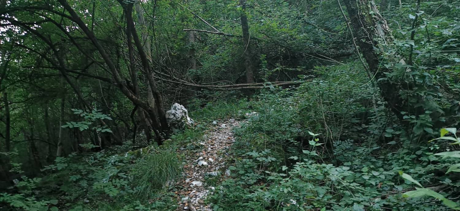
Trail description:Let's keep walking along the road. Walk for a long time until a grass track forks off to the left and you join it. In a few steps the path will lead you into the woods. There is a climb through the woods and then we will rejoin the road. The road will lead you to the church, and you will find the path in the woods beyond. It is just a climb up the forest track and you will reach the top.
Additional tips:No additional tips.