



Gabrovo - Lubnik (General)
1 h 30 min




 Weather
 Nearest webcam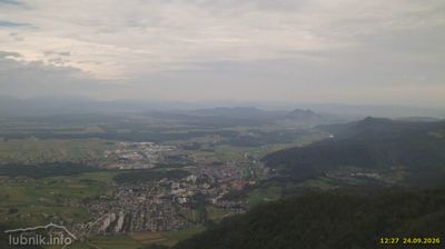
| Rating: | |
| Country: | Slovenia |
| Mountain range: | The Škofja Loka and Cerkno Hills and Jelovica |
| Trailhead: | Gabrovo (500 m) |
| Destination: | Lubnik (1025 m) |
| Trailhead latitude/longitude: | 46.1588 / 14.2909 |
| Destination latitude/longitude: | 46.1711 / 14.2609 |
| Difficulty: | Easy marked route  |
| Recommended equipment: | Hiking shoes Water |
Coming from Ljubljana, take Celovška cesta, through Medvode, all the way to Škofja Loka. Drive through the town and then turn right at the fork where you will see the sign for Podpulfrca. Immediately afterwards, turn left towards Gabrovo. Continue along the road, which starts to climb steeply. When you come to a very sharp left turn, you will see a parking area on the side of the road - park here and continue on foot.
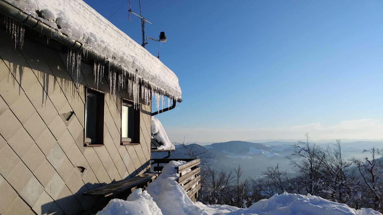
Trail description:First, walk a few more turns on foot along the asphalted road until you reach the signpost for Lubnik, which directs you to the right onto a forest track. The track climbs immediately at first, but after about 20 minutes of walking it levels off a little and leads to the village of Gabrovo. Turn left here and follow the asphalt road for a few hundred metres, past the wood processing plant. Soon, on our left, we will see a turn-off onto a path which runs along a meadow for a few hundred metres and then turns right into the forest. Several paths fork here, and we take the middle one. We will immediately start climbing steeply. The steepness will continue until the next major fork, at which point we keep to the right. Here the path becomes a bit flatter. If we follow this path steadily, we will first come to a small peak, like a kind of headland. From this peak, we descend a few hundred metres, and then the path again turns into a slope and, after only a few minutes' walk, leads us to the house at Lubnik.
Additional tips:No additional tips.
![[object Object] - [object Object] main photo](https://api.mountainsgeek.com/media/20190325_153004_HDR.jpg)


