



Zatolmin - Kobilnik (General)
Po cesti
2 h 0 min




 Weather
 Nearest webcam
| Rating: | |
| Country: | Slovenia |
| Mountain range: | Julian Alps |
| Trailhead: | Zatolmin (256 m) |
| Destination: | Kobilnik (693 m) |
| Trailhead latitude/longitude: | 46.1942 / 13.7279 |
| Destination latitude/longitude: | 46.2059 / 13.7479 |
| Difficulty: | Easy marked route  |
| Recommended equipment: | Hiking poles Hiking shoes Water |
Drive into Tolmin and at the traffic lights in the town centre, turn towards Zatolmin village. When you get to the village, you will soon see the Zatolmin Inn on your left on the side of the road, and a small parking lot opposite it, where you park.
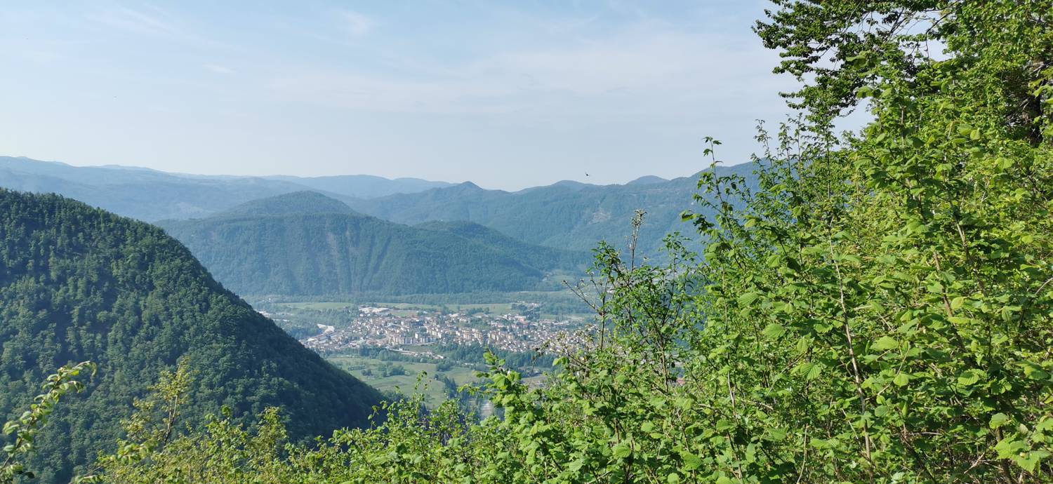
Trail description:Continue on foot through the village, towards the Tolminski Troughs. The initially flat path soon turns into a steep descent, which lasts all the way to the troughs. Here the road levels out and we walk to the Devil's Bridge, just a few minutes' walk from the troughs. After crossing the bridge, the road starts to climb steeply. We continue our ascent to Dante's Cave, where there are steps to climb and continue along the forest path. Cross the road once. When you reach Zadlaz - Čadrga, you will see a narrow path on the opposite side of the Pr' Jakču summer garden, which turns into a meadow. Turn onto it and it will soon lead you into the woods. Here the path turns once, and a signpost with a cross warns you of this. The forest path will lead us to the top of Kobilnik. In the meantime, we will be able to make two more turns, which will again be indicated by a signpost with a cross. At the top, we will find a cross and, of course, an outstanding view of the rest of the high mountains.
Additional tips:No additional tips.
![[object Object] - [object Object] main photo](https://api.mountainsgeek.com/media/20171209_135549_HDR.jpg)
![[object Object] - [object Object] main photo](https://api.mountainsgeek.com/media/20171209_135549_HDR_A7YqLbE.jpg)


