



Planinska Ravna - Mozirska koča na Golteh (General)
0 h 45 min




 Weather
 Nearest webcam
| Rating: | |
| Country: | Slovenia |
| Mountain range: | Kamnik-Savinja Alps |
| Trailhead: | Planinska Ravna (1140 m) |
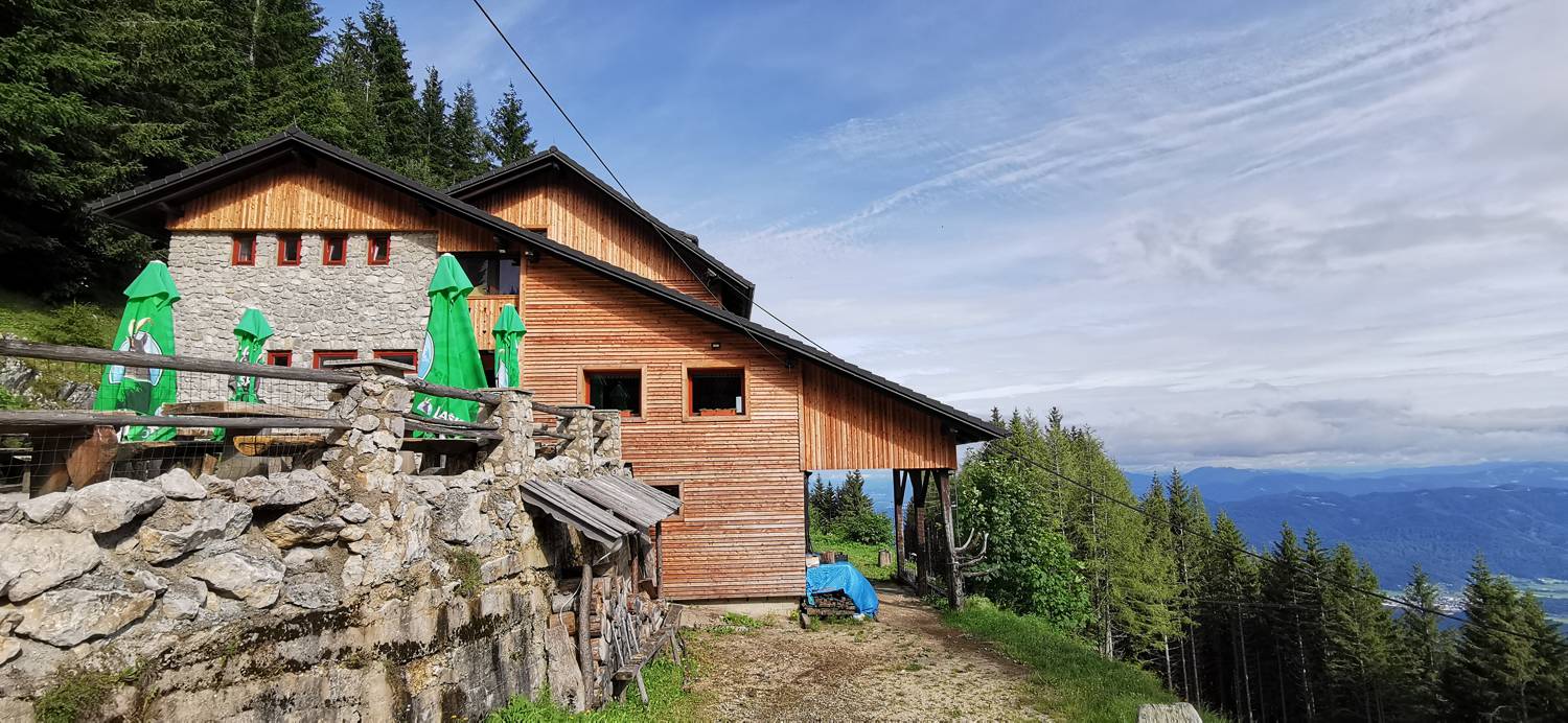
| Destination: | Mozirska koča na Golteh (1356 m) |
| Trailhead latitude/longitude: | 46.3709 / 14.9152 |
| Destination latitude/longitude: | 46.3714 / 14.9047 |
| Difficulty: | Easy marked route  |
| Recommended equipment: | Hiking shoes Water |
From Celje, head towards Mozirje. In the village, at the roundabout, turn out at the second exit, towards Golte. Keep on the main road until you reach the football field on the left, when you will be able to turn left onto the ascending road. Follow it all the way to the parking place on the right hand side of the road, which you will recognise by the steps. Park here.
Trail description:On foot, climb the stairs that lead you to the forest path that leads up to the Mozirska hut. Just before you reach the cottage, the path will lead you out of the forest and onto the grazing meadows, which will take you up to the cottage in a minute.
Additional tips:No additional tips.


