



Koča na Pesniku - Jezerski vrh (General)
1 h 15 min




 Weather
 Nearest webcam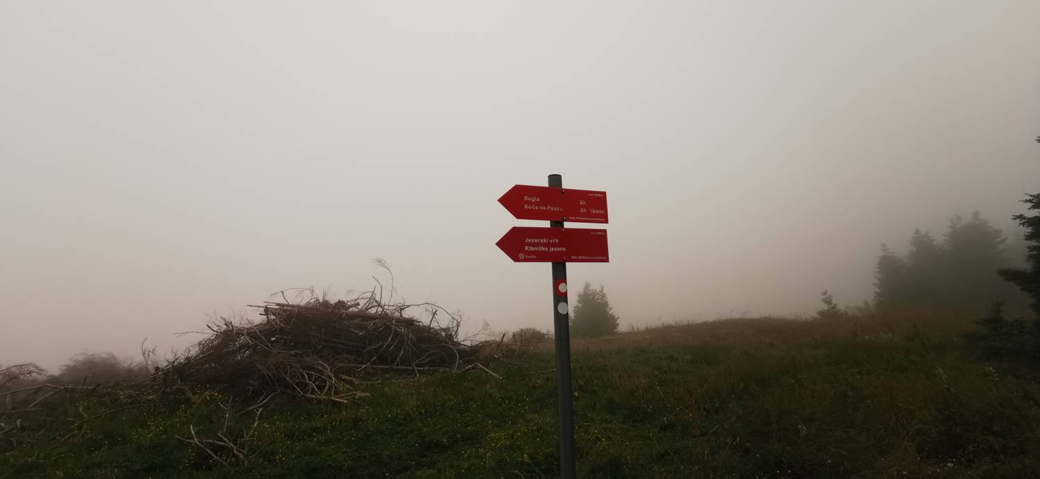
| Rating: | |
| Country: | Slovenia |
| Mountain range: | Pohorje and the rest of northeastern Slovenia |
| Trailhead: | Koča na Pesniku (1101 m) |
| Destination: | Jezerski vrh (1537 m) |
| Trailhead latitude/longitude: | 46.5179 / 15.2513 |
| Destination latitude/longitude: | 46.494 / 15.2648 |
| Difficulty: | Easy marked route  |
| Recommended equipment: | Hiking poles Hiking shoes Water |
From Maribor, we head towards Ribnica na Pohorju. When you reach the village, turn left twice in succession towards the cottage at Pesnik. Continue driving to the hut, where you park in the car park.
Trail description:Continue on foot along the road towards Ribnica Cottage, where you will also be directed by a signpost. Follow the road for just a few metres, then you will see a cart track, which you will join. Walk through the forest, during which the path will often fork - follow the signs at all times. After a while, the track is replaced by a narrower track, which continues the ascent, this time a little steeper. When you reach the ski slope, continue along the side of the slope until you reach the Ribnica hut. From the Ribnica hut, continue in the direction of Roga. The path leads down the road. At the grassy pass, continue straight ahead along the path, which begins to climb. After a 10-minute climb, the path leads us to the summit, where the NOB monument is erected.
Additional tips:No additional tips.
![[object Object] - [object Object] main photo](https://api.mountainsgeek.com/media/IMG_20200806_161426_EtNIaWH.jpg)


