



Parkirišče nad Žabčami - Tolminski Triglav (Poloje) (General)
Čez Žabijski vrh
2 h 15 min




 Weather
 Nearest webcam
| Rating: | |
| Country: | Slovenia |
| Mountain range: | Julian Alps |
| Trailhead: | Parkirišče nad Žabčami (228 m) |
| Destination: | Tolminski Triglav (Poloje) (981 m) |
| Trailhead latitude/longitude: | 46.1902 / 13.7435 |
| Destination latitude/longitude: | 46.1917 / 13.7621 |
| Difficulty: | Easy marked route  |
| Recommended equipment: | Hiking shoes Water |
If you are driving from Most na Soči towards Tolmin, follow the main road until it reaches a fork where the left road leads to Tolmin and the right road leads to Poljubin. Here we turn towards Tolmin, then after a few hundred metres turn right, where we are also directed by the signpost for Žabče. Continue along the road, keeping right at the fork for Zadlaz. Follow the narrow road through a compact settlement. Once through the settlement, there are a few hundred metres of straight road, surrounded by pasture on both sides. When the pastures end and the forest slowly begins, you will see a cottage with a large garden on the right - turn right here and park on the roadside.
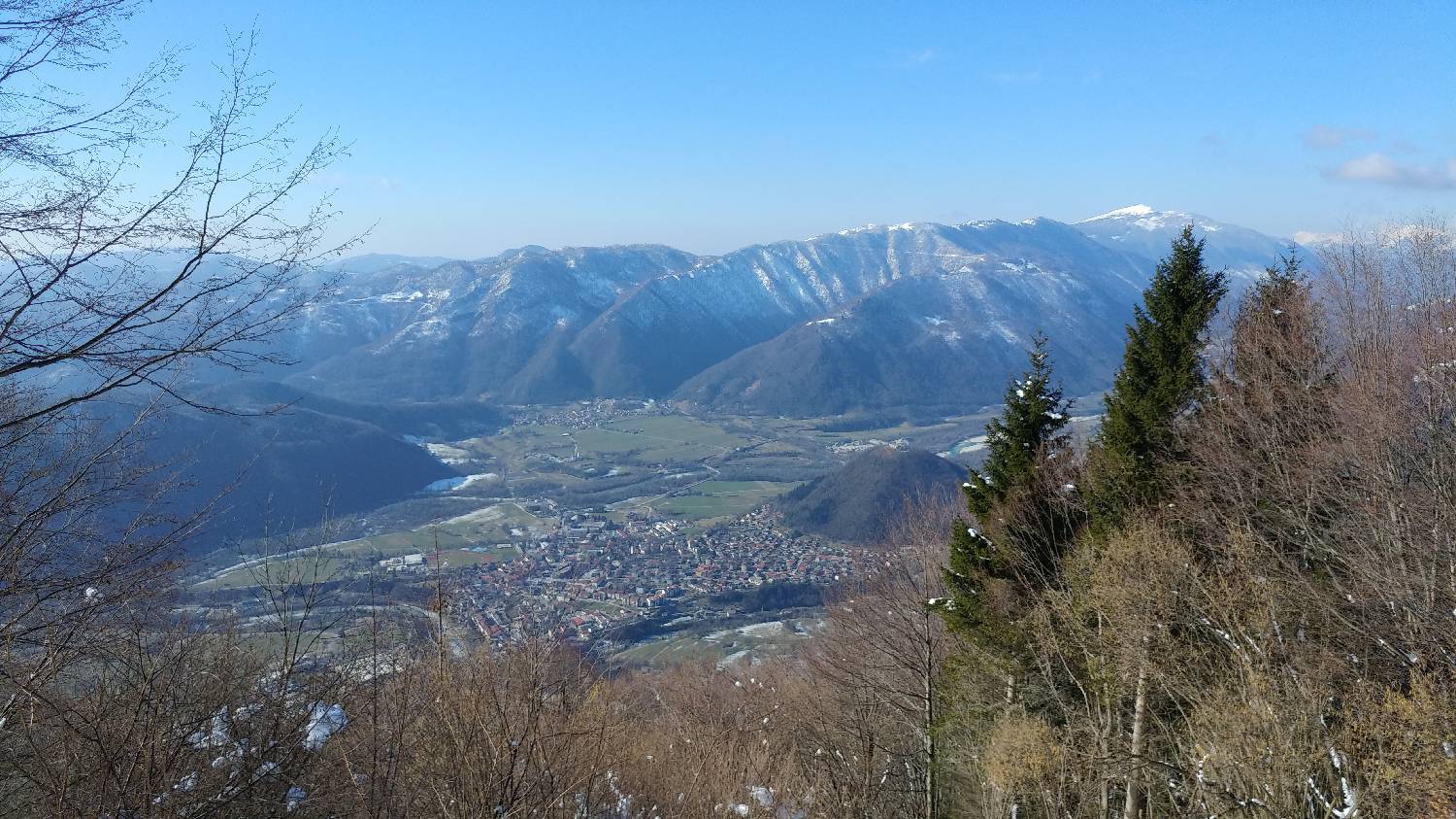
Trail description:Continue on foot, first past the lock along the forest track, which after a few minutes' walk leads to a fork - a signpost to the right will point towards the Cottage on Mt Razor, and we turn left here onto a narrow wooded track that begins to climb steeply. We continue along the ascending path, along which the trees become thinner in some sections, giving us beautiful views towards the valley and the high mountains in the distance. When the path reaches the top of the first climb, we will have a beautiful view of the Julian Alps at the other end. This is also where the cross is located. We continue along the path past the cross, which soon leads us to a precipice with a precipice with a gorge. At the end of this section there is a registration box. But this is not our summit. We climb up a wooden ladder and continue along the path, which will soon fork. We turn sharp right here and climb steeply to Frog Peak. From the top, continue along the path, which initially descends downhill, then straightens out and also crosses a small stream. When the path reaches a fork, we turn left. Here the path starts to climb again, but not steeply, as it often turns off during the way. After walking for a while, the path will lead us to our destination.
Additional tips:No additional tips.
![[object Object] - [object Object] main photo](https://api.mountainsgeek.com/media/27_w4QFg3w.jpg)
![[object Object] - [object Object] main photo](https://api.mountainsgeek.com/media/IMG_20200208_123335.jpg)
![[object Object] - [object Object] main photo](https://api.mountainsgeek.com/media/IMG_20210718_102249.jpg)
![[object Object] - [object Object] main photo](https://api.mountainsgeek.com/media/IMG_20210718_102249_efSAZLT.jpg)


