



Brezje pri Tržiču - Koča na Dobrči (General)
2 h 0 min




 Weather
 Nearest webcam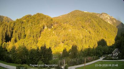
| Rating: | |
| Country: | Slovenia |
| Mountain range: | Kamnik-Savinja Alps |
| Trailhead: | Brezje pri Tržiču (677 m) |
| Destination: | Koča na Dobrči (1478 m) |
| Trailhead latitude/longitude: | 46.3586 / 14.2776 |
| Destination latitude/longitude: | 46.3762 / 14.2462 |
| Difficulty: | Easy marked route  |
| Recommended equipment: |
If you take the motorway leading to Gorenjska, take the exit for Podbrezje/Podnart/Kropa/Zvirče. Just after the exit, keep right on the road, which turns sharply and soon brings you to a roundabout. Take the first exit and continue along the road until you reach the left turn towards the villages of Brdo and Hudo, which is also indicated by a signpost. Follow the road to the fork, where you turn left again, and then right after a few dozen metres (the first possible right turn). Follow the road until it forks again and turns right. Continue straight on the road until you reach the village of Brezje. Park here in the parking lot in front of the church.
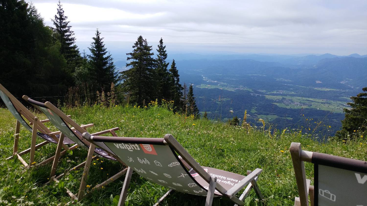
Trail description:From the car park, walk left along the road, which first climbs and then begins to descend. Just before it starts to descend, a narrower road branches off to the right, which you turn onto and climb up to a crossroads. Both routes lead to Dobrča, but in this case we take the left fork and turn onto the dirt track. Walk along it for a few minutes until you reach a fork, where you keep to the right-hand path, which is also indicated by a signpost. The track is here replaced by a narrow forest track, which climbs slowly. Soon enough, you will have an amazing view of the valley and the distant high mountains. We keep to the forest track and walk straight ahead. We will also be accompanied by markings throughout the walk. After a while the path will become a little steeper. We will follow it up to the airstrip. Here the path will lay down again. We continue straight on the path, which soon becomes very steep. This steepness will continue until we reach a fork where the left path leads to the Dobrča hut and the right path leads to the top of Dobrča. Take the left path. The path here becomes a path and continues through the forest, onto a meadow and across it, all the way to a hut hidden behind a small copse.
Additional tips:No additional tips.
![[object Object] - [object Object] main photo](https://api.mountainsgeek.com/media/20180701_102906_1w68NFq.jpg)


