



Preval Vrh Ravni - Kojca (General)
1 h 30 min




 Weather
 Nearest webcam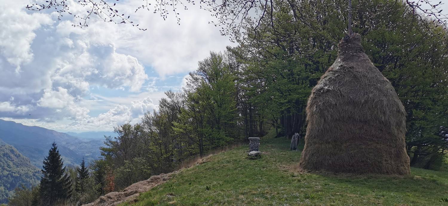
| Rating: | |
| Country: | Slovenia |
| Mountain range: | The Škofja Loka and Cerkno Hills and Jelovica |
| Trailhead: | Preval Vrh Ravni (825 m) |
| Destination: | Kojca (1303 m) |
| Trailhead latitude/longitude: | 46.1561 / 13.9449 |
| Destination latitude/longitude: | 46.1538 / 13.9268 |
| Difficulty: | Easy marked route  |
| Recommended equipment: | Hiking poles Hiking shoes Water |
From Tolmin, drive towards Most na Soči. Turn left here and drive along the main road for a long distance, almost to the village of Reka. Just before the settlement, another road will branch off to the left, going uphill, and turn left (signpost for Zakojca). Drive to the large fork before Bukovi, where you turn right. Follow the road to the pass, which you will recognise by the junction of the major roads and the numerous signs.
Trail description:On foot, follow the signpost for Kojca (1h 30min) to a fork in the forest, where you turn left towards Kojca (signpost). From here on, there is a longer climb along a forest path. On the way you will pass Lipje, which is a kind of resting place. From here onwards, there is a steeper climb towards the summit, most of the time through the forest, but before the finish, the path leads out of the forest and onto grassy areas.
Additional tips:No additional tips.
![[object Object] - [object Object] main photo](https://api.mountainsgeek.com/media/IMG_20250405_113218.jpg)


