



Parkirišče Šterklepce - Kozlov rob (General)
Učna pot
0 h 40 min




 Weather
 Nearest webcam
| Rating: | |
| Country: | Slovenia |
| Mountain range: | Julian Alps |
| Trailhead: | Parkirišče Šterklepce (297.5 m) |
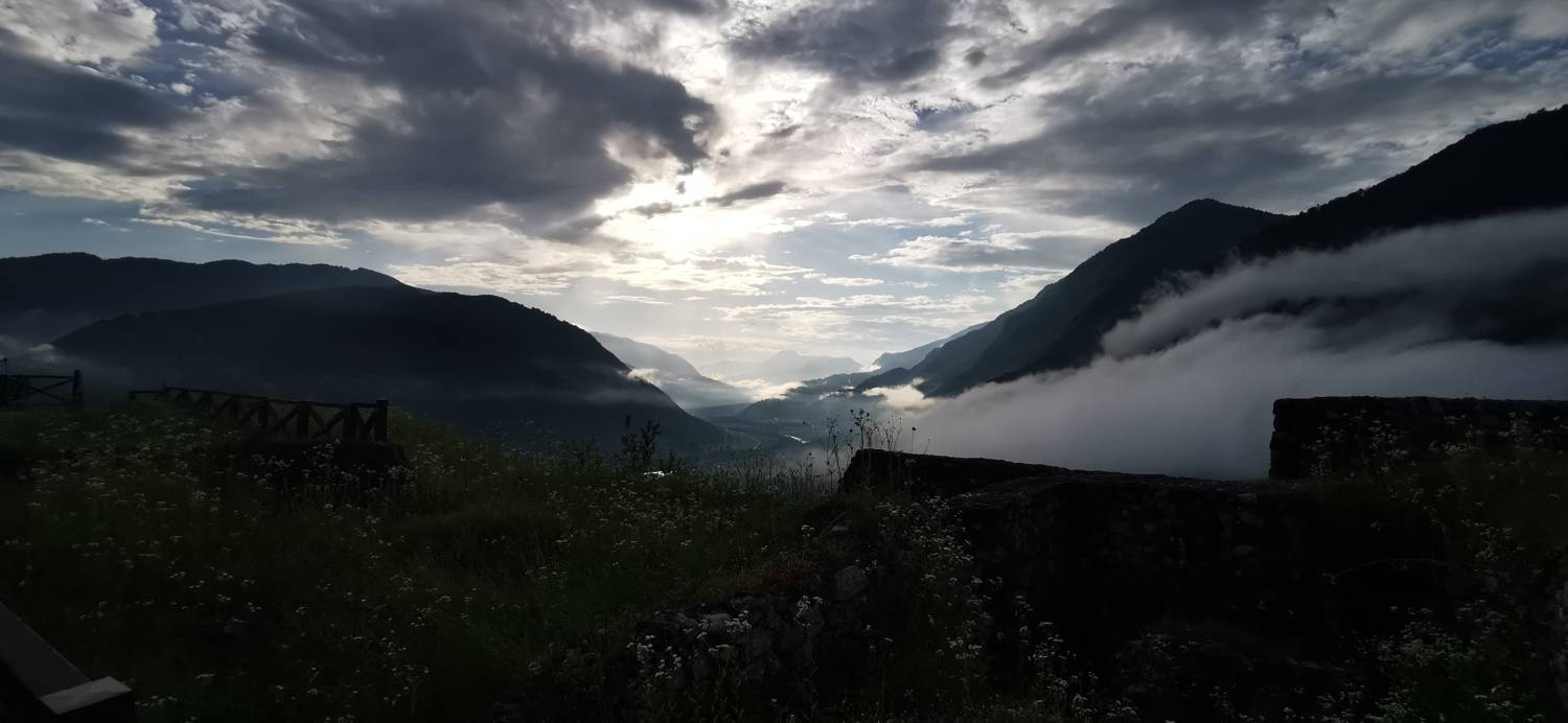
| Destination: | Kozlov rob (426 m) |
| Trailhead latitude/longitude: | 46.1908 / 13.7313 |
| Destination latitude/longitude: | 46.1898 / 13.7256 |
| Difficulty: | Easy marked route  |
| Recommended equipment: | Hiking shoes Water |
Take a ride to Tolmin. From here, continue to the village of Zatolmin. Just before Tolmin ends, you will see a large car park on your right, where you can park.
Trail description:Cross the road on foot and follow the narrow asphalt path up to the forest trail, below Kozlovi Edge. You will immediately reach a marked crossroads. Both paths lead to the Kozlov Edge, we will take the one on the right. There is a longer climb up the path, all the way to the top.
Additional tips:No additional tips.
![[object Object] - [object Object] main photo](https://api.mountainsgeek.com/media/20180331_174029_HDR.jpg)
![[object Object] - [object Object] main photo](https://api.mountainsgeek.com/media/20180331_174130_HDR.jpg)
![[object Object] - [object Object] main photo](https://api.mountainsgeek.com/media/20181118_102838_HDR_gQhAgMG.jpg)
![[object Object] - [object Object] main photo](https://api.mountainsgeek.com/media/IMG_20240627_192310.jpg)


