



Parkirišče Šterklepce - Parkirišče Šterklepce (General)
Krožna pot
0 h 40 min




 Weather
 Nearest webcam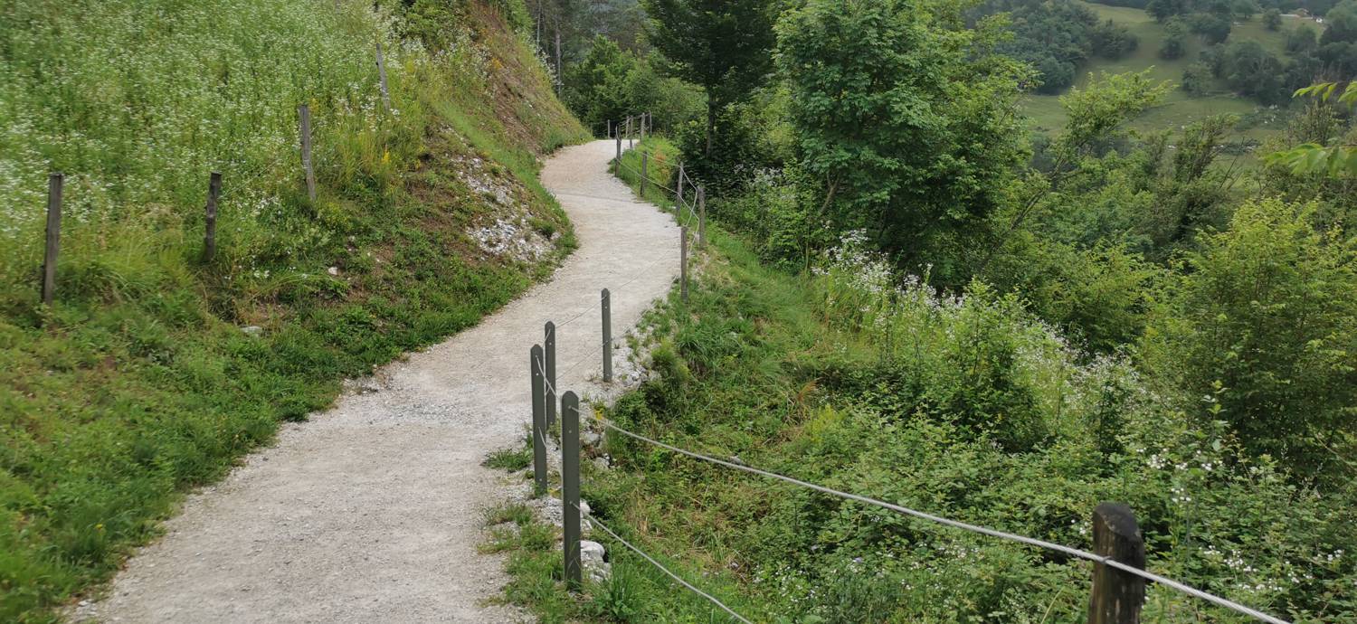
| Rating: | |
| Country: | Slovenia |
| Mountain range: | Julian Alps |
| Trailhead: | Parkirišče Šterklepce (297.5 m) |
| Destination: | Parkirišče Šterklepce (297.5 m) |
| Trailhead latitude/longitude: | 46.1908 / 13.7313 |
| Destination latitude/longitude: | 46.1908 / 13.7313 |
| Difficulty: | Easy unmarked route  |
| Recommended equipment: | Hiking shoes |
Take a ride to Tolmin. From here, continue to the village of Zatolmin. Just before Tolmin ends, you will see a large car park on your right, where you can park.
Trail description:From the car park, walk past the information board on the footpath, which is also signposted. About halfway along, another path will join from the right. Follow the path to the left, then past the house, where it becomes a dirt road. Follow it to the Tolminska korita cafeteria and join the asphalt road. Continue to the left, first along the flat road, then uphill and into the village of Zatolmin. In the village, turn left at the main crossroads. Go out of the village and continue walking down towards Šterklepce.
Additional tips:No additional tips.
![[object Object] - [object Object] main photo](https://api.mountainsgeek.com/media/IMG_20240627_192310.jpg)
![[object Object] - [object Object] main photo](https://api.mountainsgeek.com/media/IMG_20230126_123510.jpg)
![[object Object] - [object Object] main photo](https://api.mountainsgeek.com/media/IMG_20240627_191742_4P1Z0wp.jpg)


