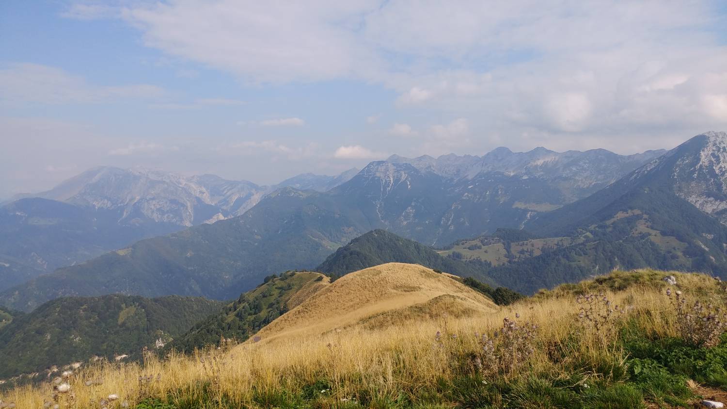
Raufčeva voda - Kobilja glava (General)
- Hiking time3 h 0 min
- Difficulty: Easy marked route
- Destination:1475 m
- Elevation difference+1243 m
Getting to the trailhead:
From Tolmin, head towards Poljubinje. In the village, continue towards Ljubinje, but only until you reach the bend after the short bridge, where you will see Raufec's water on the left side of the road, and after a few metres, there is a possibility of parking (there is only space for one car) in the right-hand bend on the right.
Trail description:
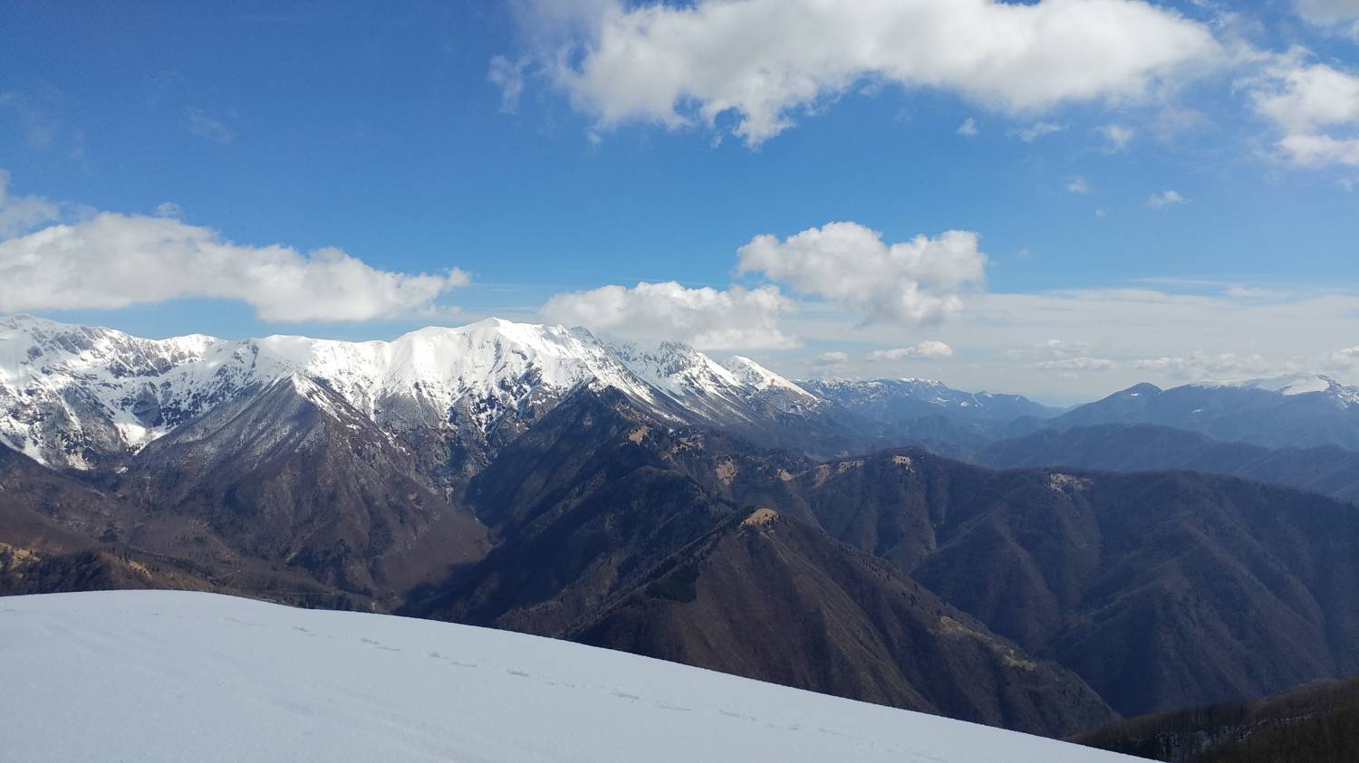
On the left side of the road, a little higher than the car park, you will see a narrow path that immediately starts to climb and leads into the forest. There is a longer walk through the forest, almost to the finish. When the terrain levels out, the track leads out of the forest and joins a dirt road. Head towards the main road and follow it to a bend where you will see a signposted forest track branching off to the left, which you will join. You will then climb through the forest, all the while enjoying a magnificent view. After about 20 minutes of ascent, the path will lay down a little and lead you through a coniferous forest. This will soon end and will be replaced by mixed forest and an ascending path that will lead you to the road. Just cross the road and you will rejoin the forest track, which will lead you to another road after only about 10 metres. Turn right here and continue along the dirt track, past the stables and on to the crossroads. Turn left here onto the path, which begins to climb again. After a short climb, you will come to a signpost pointing you to Kobiljo glavo on the right-hand side of the hut. The path starts to climb steeply and soon leads you to a small peak with a larger rock pillar. Continue straight ahead on the path, which first descends slightly and then begins to climb again. After a short, more gradual climb, you will come to another hut. Continue past it, straight ahead on the steeply ascending path through the meadow. When you reach the ridge, turn left and you are only a few steps away from your destination.
Additional tips:
If the car park at the starting point is not free, you can also park in the car park behind the Beri Waterfall.
Related trails
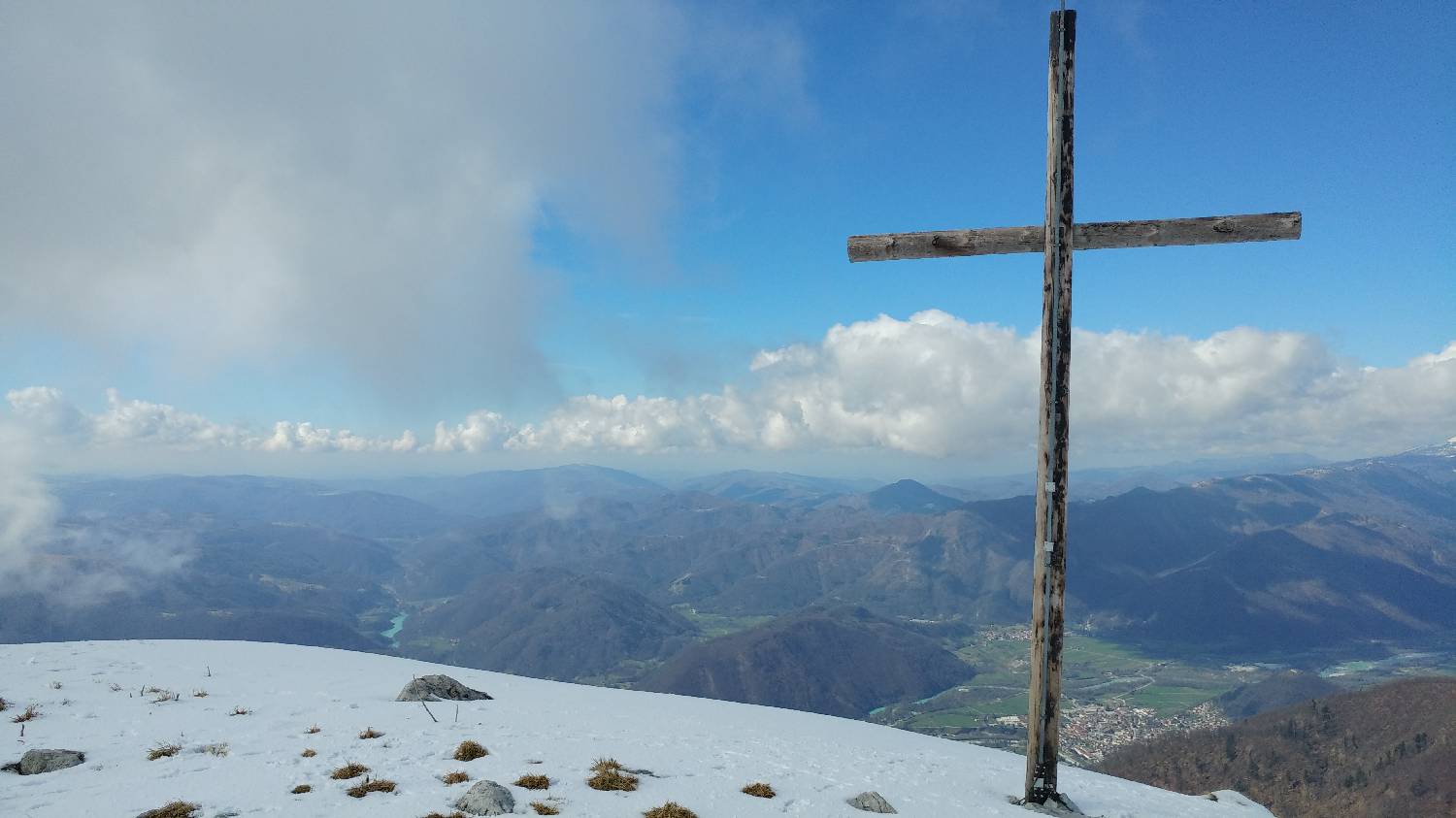
Koča na planini Stador - Kobilja glava
Mimo Chalet AstraMONTANA
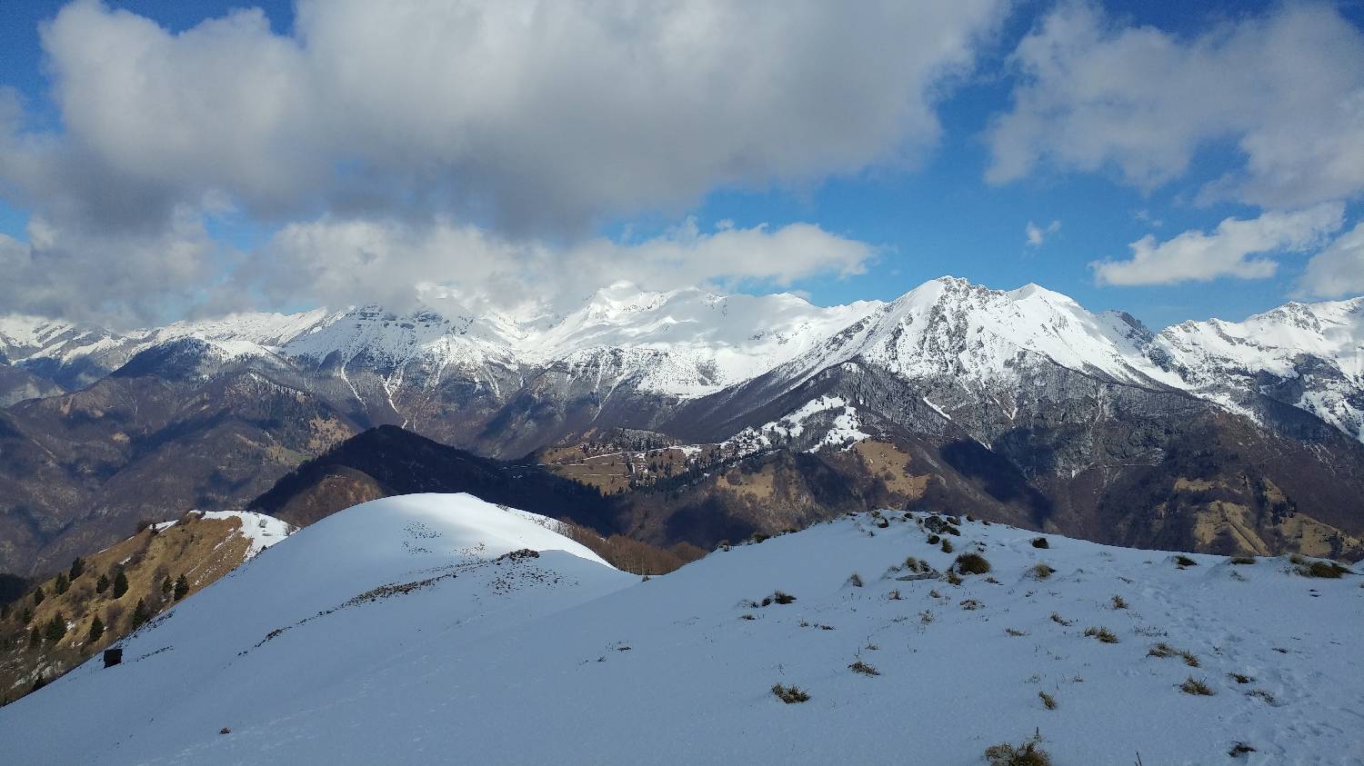
Poljubinske ravne - Kobilja glava