



Drežniške Ravne - Lopatnik (General)
3 h 0 min




 Weather
 Nearest webcam
| Rating: | |
| Country: | Slovenia |
| Mountain range: | Julian Alps |
| Trailhead: | Drežniške Ravne (820 m) |
| Destination: | Lopatnik (2012 m) |
| Trailhead latitude/longitude: | 46.2729 / 13.6149 |
| Destination latitude/longitude: | 46.2868 / 13.6495 |
| Difficulty: | Easy marked route  |
| Recommended equipment: | Hiking poles Hiking shoes Water |
From Tolmin, head towards Kobarid. In Kobarid, just a few dozen metres after Petrol, turn right for Vrsno / Bovec / Drežnica. Continue driving to the first fork, where you turn left and immediately afterwards left again (to stay on Gregorčičeva Street). Continue to the Napoleon Bridge, which you will cross, and immediately afterwards turn left. The road is a bit more winding at first, but then it straightens out and goes through Drežnica towards the Drežnice Plains. At a crossroads in the village, turn right towards Krasje Top and then right again. Continue driving to a large water trough, which you will see just off the road. There will be a large parking area next to it, where you can park.
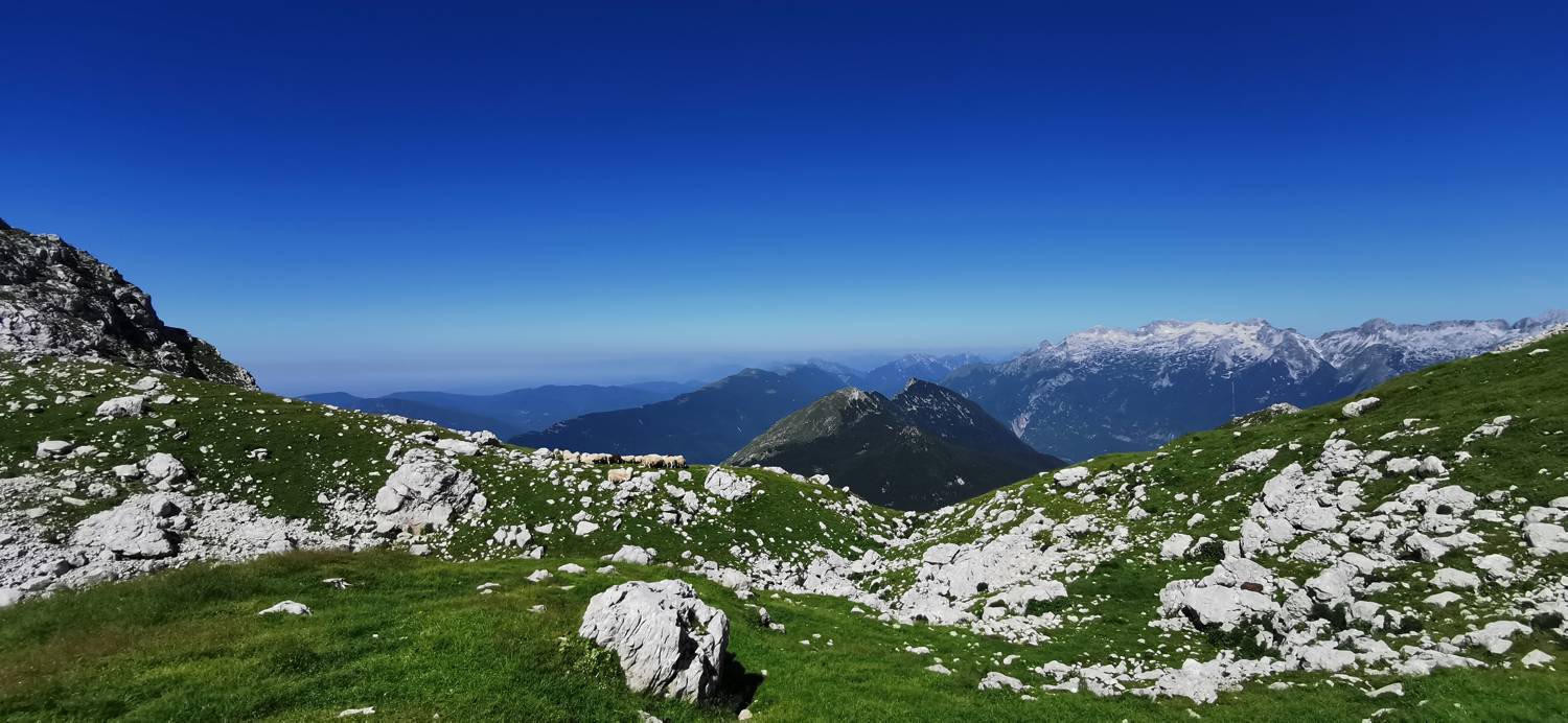
Trail description:From the car park, follow the macadam road to the first signposts, where you turn right onto a grassy path. Follow the grassy path up to the woods, where the trail continues. There is a longer walk through the woods until you reach a marked fork. Turn left here, towards the Curk waterfall and the mountains. The path continues through the forest for a while, then comes to grazing meadows, where it soon leads to a cart track. Just cross the cart track and continue ascending along the grassy path. Just before reaching the Zapleč mountain, the path joins a macadam road. Do not go right up to the mountain, but just over the cattle barrier, then immediately turn right. The path immediately becomes grassy and starts to climb in a winding manner. The path is also very well marked. At first follow the signs for Krn. The meandering grassy part runs most of the way. When the path becomes rocky, pay attention to the turn to the left (from here on, do not follow the signs for Krn). After the turn, there is a short climb and you will reach the saddle. From here it is just a short direct climb and you will reach your destination.
Additional tips:No additional tips.
![[object Object] - [object Object] main photo](https://api.mountainsgeek.com/media/IMG_20230715_103015_z5eyigv.jpg)


