



Pano Platres - Slap Millomeris (General)
0 h 40 min




 Weather
 Nearest webcam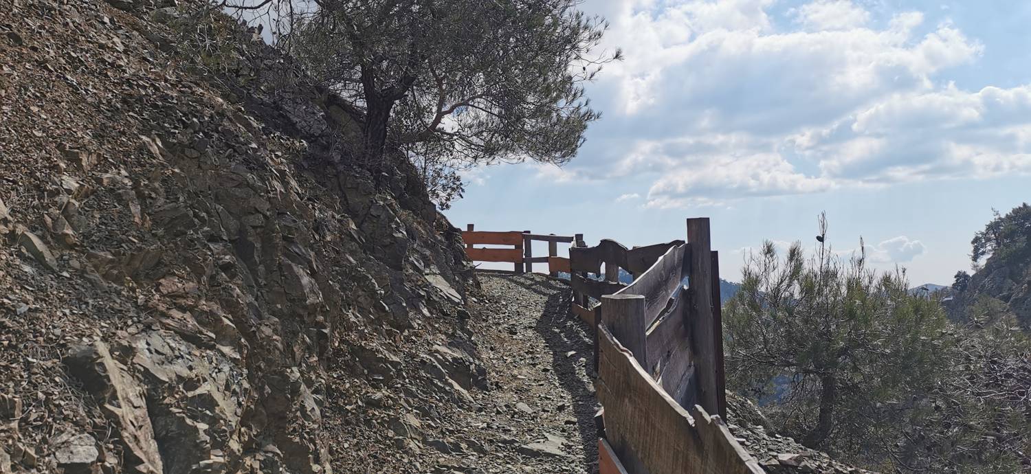
| Rating: | |
| Country: | Cyprus |
| Mountain range: | Platres |
| Trailhead: | Pano Platres (1078 m) |
| Destination: | Slap Millomeris (993 m) |
| Trailhead latitude/longitude: | 34.8868 / 32.8639 |
| Destination latitude/longitude: | 34.8839 / 32.8649 |
| Difficulty: | Easy marked route  |
| Recommended equipment: | Hiking poles Hiking shoes |
From Paphos, head towards Mount Olympos. Drive to Pano Platres, where you park in the car park at the starting point for the waterfall.
Trail description:Cross the road on foot and follow it downhill for a few dozen metres until you reach a narrow track to the left, marked by a signpost and educational signs. Follow the path downhill and cross the bridge as it is being laid. After the bridge, turn right and follow the path along the stream. After walking for a while, the path starts to climb steeply. The ascent lasts for a short time and then the path starts to descend again. You will also come to some houses and a road. Behind the house, there are steps which lead down to a path which leads to a waterfall.
Additional tips:No additional tips.


