



Nova vas - Bloško jezero (General)
0 h 25 min




 Weather
 Nearest webcam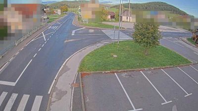
| Rating: | |
| Country: | Slovenia |
| Mountain range: | The Polhograj Hills and Ljubljana |
| Trailhead: | Nova vas (719 m) |
| Destination: | Bloško jezero (685 m) |
| Trailhead latitude/longitude: | 45.7729 / 14.5061 |
| Destination latitude/longitude: | 45.7866 / 14.5152 |
| Difficulty: | Easy marked route  |
| Recommended equipment: | Hiking shoes |
From Postojna, head towards Unec. When you reach Unec, turn right in the village towards Cerknica. In Cerknica, continue along the road, past the villages of Martinjak, Grahovo, Bločice, Bloška polica, all the way to Nová vas, where you can park in the car park in front of the Mercator.
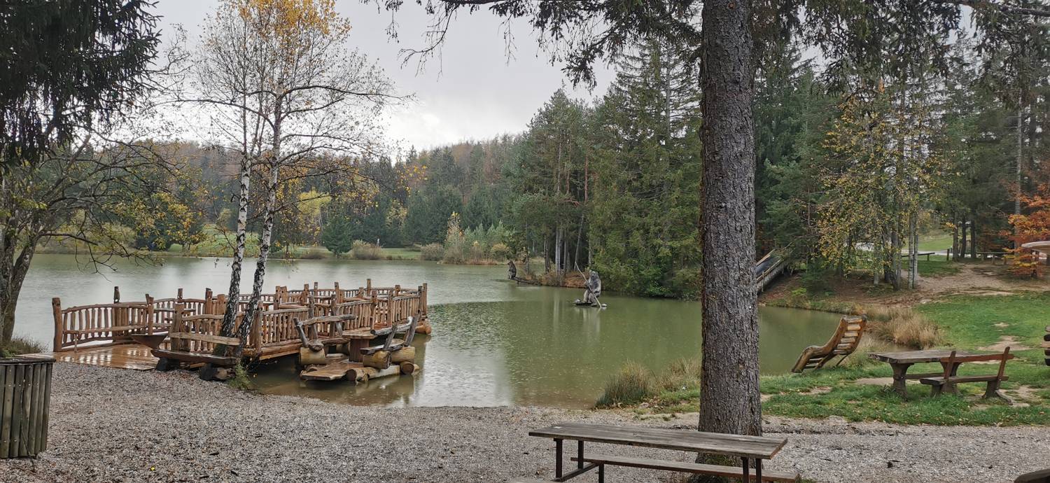
Trail description:From here, continue along the pavement until you reach a left turn towards Volčje. Follow the road uphill, which soon turns into a forest and becomes a macadam road. When the climb ends, the road bends and you start descending, which leads you out of the forest, to the settlement of Volčje. Continue through Volčje until you reach the main road. Turn right here and walk along the main road to the nearby church, where you turn right onto a side road. It is only a short walk to Lake Bložsko.
Additional tips:No additional tips.


