



Oblakov vrh - Vrhovec (Šebreljski vrh) (General)
1 h 10 min




 Weather
 Nearest webcam
| Rating: | |
| Country: | Slovenia |
| Mountain range: | The Škofja Loka and Cerkno Hills and Jelovica |
| Trailhead: | Oblakov vrh (721 m) |
| Destination: | Vrhovec (Šebreljski vrh) (1079 m) |
| Trailhead latitude/longitude: | 46.0621 / 13.89 |
| Destination latitude/longitude: | 46.0634 / 13.9108 |
| Difficulty: | Easy marked route  |
| Recommended equipment: | Hiking poles Hiking shoes Water |
From Tolmin, head towards Most na Soči. Turn left here and drive to the right fork towards Dolenjska Trebusa (signs for Vojsko, Čepovan), where you turn and cross the bridge. Continue along the main road until you reach the Oblakov vrh pass, where you park in a roadside car park.
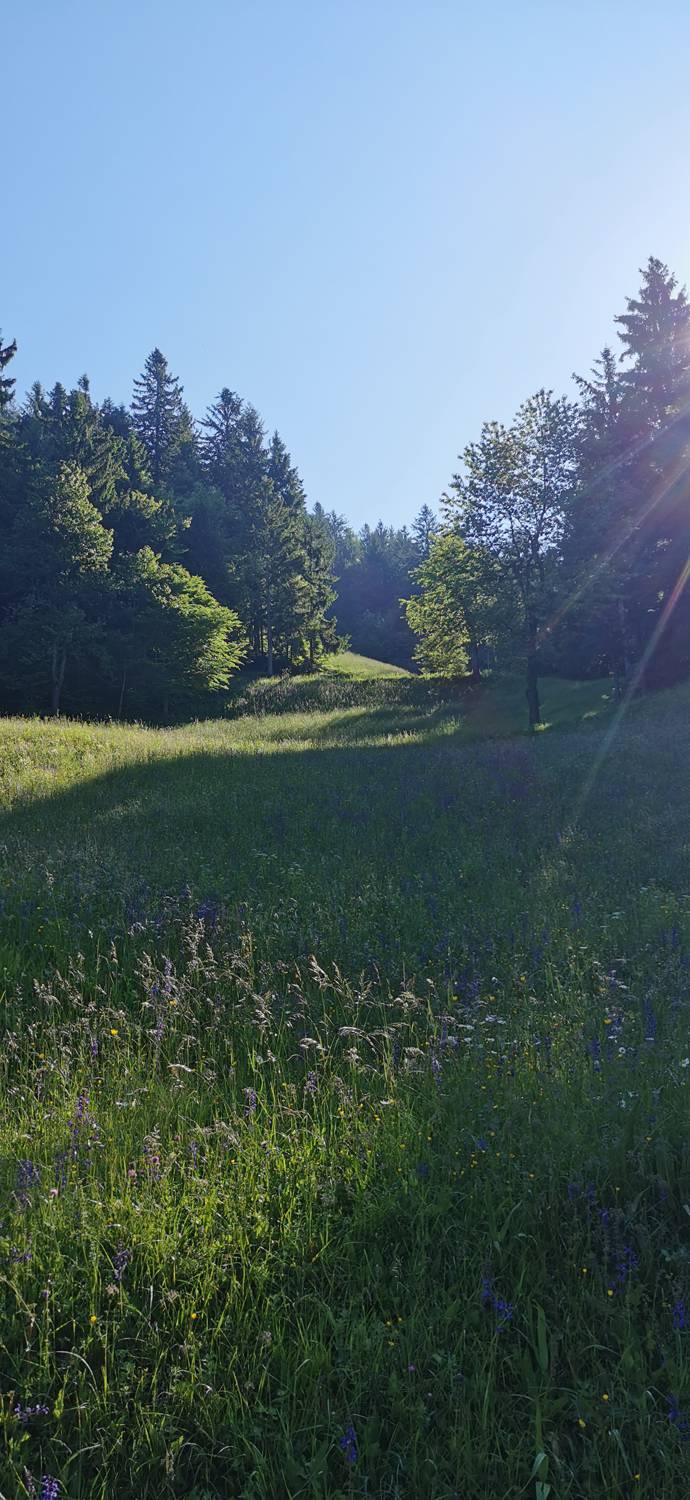
Trail description:From the car park, follow the asphalted road as it turns left. Shortly after the bend, turn left past the houses. After the houses, the road becomes gravel. Keep on the main dirt road through the forest and past some pastures until you reach a fork where you keep right. Here the road becomes a bit flatter. Continue until you emerge from the woods and have a good view of the surrounding hills, where you will see a fork to the left, where you turn left. From here it is a short climb to the top.
Additional tips:No additional tips.
![[object Object] - [object Object] main photo](https://api.mountainsgeek.com/media/IMG_20221119_105222_433IC1R.jpg)


