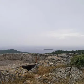


Vela Luka - Hum (General)
po cesti
2 h 40 min




 Weather
 Nearest webcam

| Rating: | |
| Country: | Croatia |
| Mountain range: | The Island of Korčula |
| Trailhead: | Vela Luka (25 m) |
| Destination: | Hum (376 m) |
| Trailhead latitude/longitude: | 42.9541 / 16.7163 |
| Destination latitude/longitude: | 42.9468 / 16.6935 |
| Difficulty: | Easy marked route  |
| Recommended equipment: | Hiking poles Hiking shoes Water |
Drive to Vela Luka on Korčula, and from there head toward the Hajduk soccer club stadium. Just a short distance further on is the Tommy store, where you can park.
Trail description:From the parking lot, turn left onto a narrow road. The road leads past a few buildings and into the countryside. Follow it all the way to the top.
Additional tips:/