


Vela Luka - Hum (General)
1 h 10 min




 Weather
 Nearest webcam
| Rating: | |
| Country: | Croatia |
| Mountain range: | The Island of Korčula |
| Trailhead: | Vela Luka (25 m) |
| Destination: | Hum (376 m) |
| Trailhead latitude/longitude: | 42.9541 / 16.7163 |
| Destination latitude/longitude: | 42.9468 / 16.6935 |
| Difficulty: | Easy marked route  |
| Recommended equipment: |
Drive to Vela Luka on Korčula, and from there head toward the Hajduk soccer club stadium. Just a short distance further on is the Tommy store, where you can park.
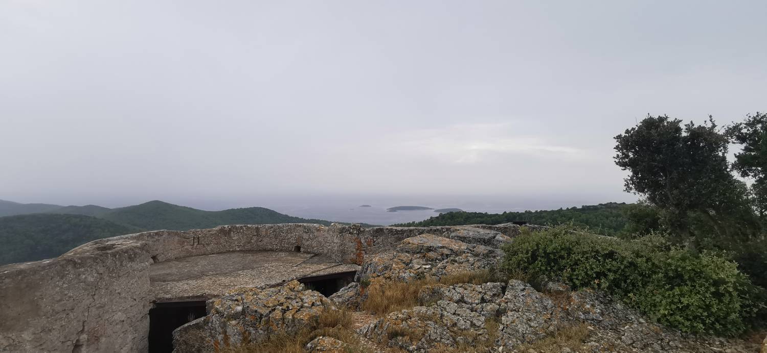
Trail description:From the parking lot, turn left and continue along the road until you reach the left turn toward Hum, which is marked by a sign. Climb the stairs, then continue uphill along the forest path. The trail then joins a cart track, which soon turns into a gravel road. After a short while, the gravel road becomes paved, and here you turn left. Shortly after the left turn, when the road becomes a gravel road again, you’ll reach a fork; keep to the right. The path begins to climb slightly here and soon becomes paved again. On this section, you’ll notice trail markers on the right pointing to a narrow path, which you’ll take. From here on, follow the trail and the markers. About halfway to the summit, the trail levels off somewhat. Here, a trail branches off to the left toward Humić, but we keep to the right and follow the trail and markings all the way to the summit.
Additional tips:/