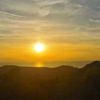


Kamp Potirna - Sv. Juraj (General)
desna pot
0 h 20 min




 Weather
 Nearest webcam

| Rating: | |
| Country: | Croatia |
| Mountain range: | The Island of Korčula |
| Trailhead: | Kamp Potirna (88 m) |
| Destination: | Sv. Juraj (160 m) |
| Trailhead latitude/longitude: | 42.9296 / 16.6805 |
| Destination latitude/longitude: | 42.9349 / 16.6766 |
| Difficulty: | Easy marked route  |
| Recommended equipment: | Hiking shoes |
From Vela Luka, head toward Blato and Korčula, but only as far as the signs for Potirna, where you’ll turn toward Potirna. We follow the road to the village of Potirna, where we continue left toward the Potirna campground; from there, we drive another 300 meters or so, until we see a gravel road on the right and a sign for Sv. Juraj, where we park somewhere along the way.
Trail description:From the starting point, follow the gravel road; after about 100 meters, you’ll reach a fork, where you turn right. After about 200 meters, you’ll see a trail on the left that leads into the forest. From there, the trail gradually becomes steeper. Follow it to the summit.
Additional tips:There is no designated parking lot at the starting point. You can also park at the aforementioned fork in the road, a good 100 meters further along the trail. The gravel road leading there is in slightly poorer condition only at the beginning.