



Prišćapac - Sv. Marko (General)
0 h 20 min




 Weather
 Nearest webcam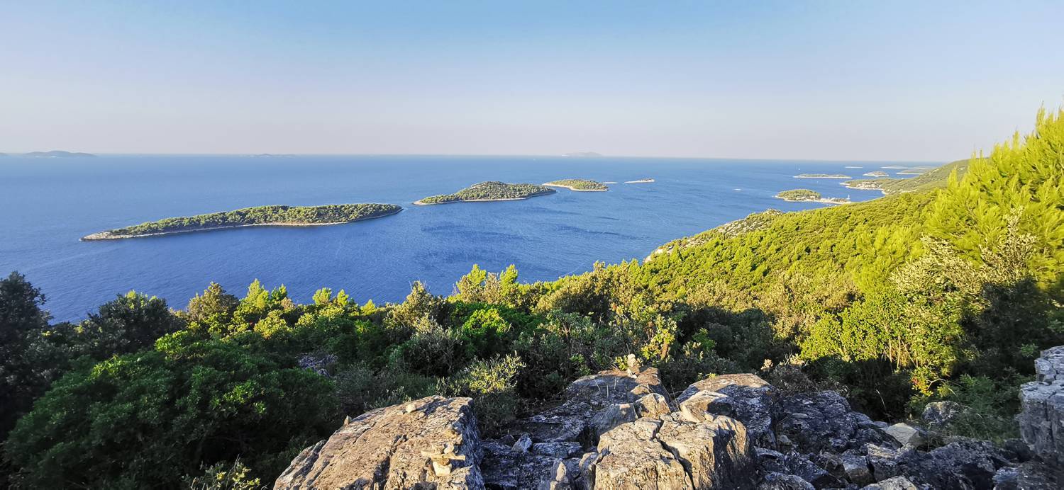
| Rating: | |
| Country: | Croatia |
| Mountain range: | The Island of Korčula |
| Trailhead: | Prišćapac (20 m) |
| Destination: | Sv. Marko (185 m) |
| Trailhead latitude/longitude: | 42.9043 / 16.8244 |
| Destination latitude/longitude: | 42.9079 / 16.8248 |
| Difficulty: | Easy marked route  |
| Recommended equipment: | Hiking shoes Water |
From the town of Korčula, head toward Vela Luka and follow the main road past Pupnata and on to the signs for Smokvica. There, turn left toward Smokvica and follow the road through the village of Čara to Smokvica, where the road forks. I choose the lower left path. We continue past the village of Brna to Prišćapca, which marks the start of Prižba. We park somewhere along the road near the sign marking the start of Prižba.
Trail description:From the parking lot, head a short distance toward Prižba, where you’ll see concrete steps on the right, along with a sign pointing the way to St. Mark. Take the steps and then continue along the trail. You’ll know you’re on the right path by the markers indicating the distance traveled, which appear on the rocks every few meters. Follow the trail to the little church of St. Mark. Beyond the church, you can continue on to a viewpoint overlooking the sea.
Additional tips:There is no official parking lot at the starting point. You can park somewhere along the road.


