



Planina Zapleč - Lopatnik (General)
2 h 0 min




 Weather
 Nearest webcam
| Rating: | |
| Country: | Slovenia |
| Mountain range: | Julian Alps |
| Trailhead: | Planina Zapleč (1200 m) |
| Destination: | Lopatnik (2012 m) |
| Trailhead latitude/longitude: | 46.2833 / 13.6307 |
| Destination latitude/longitude: | 46.2868 / 13.6495 |
| Difficulty: | Easy marked route  |
| Recommended equipment: | Hiking poles Hiking shoes Water Snack |
From Tolmin, head toward Kobarid. Immediately after the Petrol gas station, at the roundabout, turn right and then immediately right again. Drive across the Napoleon Bridge and turn left. The road will begin to climb. Drive to Drežnica, and from there toward Drež. Ravnam. There, signs will begin directing you toward the Zapleč mountain pasture. Follow the road all the way to the pasture, where you can park in the parking lot in front of it.
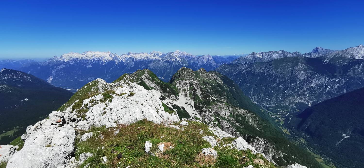
Trail description:Walk across the cattle gate, then turn right immediately. The trail quickly becomes grassy and begins to wind its way uphill. The trail is also very well marked. At first, follow the signs for Krn. The winding grassy section makes up most of the trail. When the trail becomes rocky, watch for a left turn (from here on, do not follow the signs for Krn anymore). After the turn, there is a short climb, and you’ll reach the saddle. From there, just a short, direct climb remains, and you’ll reach your destination.
Additional tips:No additional tips.
![[object Object] - [object Object] main photo](https://api.mountainsgeek.com/media/IMG_20230715_102314_0OaM1k4.jpg)


