



Možnica - Korita Nemčije (Možnica) (General)
0 h 30 min




 Weather
 Nearest webcam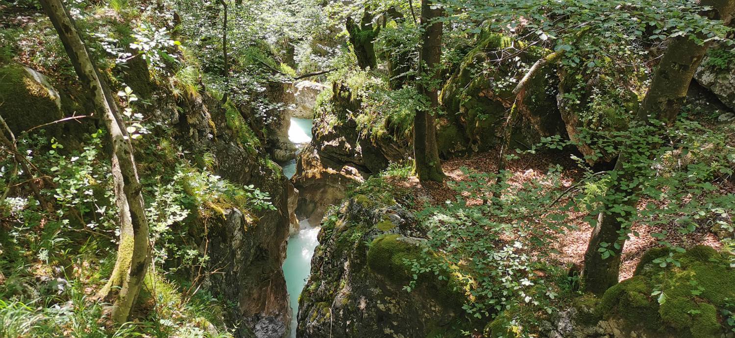
| Rating: | |
| Country: | Slovenia |
| Mountain range: | Julian Alps |
| Trailhead: | Možnica (525 m) |
| Destination: | Korita Nemčije (Možnica) (580 m) |
| Trailhead latitude/longitude: | 46.3796 / 13.5853 |
| Destination latitude/longitude: | 46.3814 / 13.5758 |
| Difficulty: | Easy marked route  |
| Recommended equipment: | Hiking poles Hiking shoes Water |
Head to Bovec, and from there continue toward the Predel Pass. As you drive past the Kluže Fortress, keep an eye out—after about 2 kilometers, you’ll see a small parking lot on the left with a sign pointing to the gorges. Park there.
Trail description:Walk down the cart track, then cross the bridge. Immediately after the bridge, turn right and go through the gate. Here, take the right path at first, and then, when the path splits again shortly afterward, take the left path. This is followed by an ascent along a forest trail that continues until you reach a gravel road. Walk along the road only until you exit the forest, then turn left back onto the forest trail and continue along it to the gorges. The trail is very well marked with directional signs.
Additional tips:No additional tips.


