



Kamnik - Visoka špica (General)
0 h 40 min




 Weather
 Nearest webcam
| Rating: | |
| Country: | Slovenia |
| Mountain range: | The Zasavje-Posavje Hills and the Dolenjska Region |
| Trailhead: | Kamnik (375 m) |
| Destination: | Visoka špica (660 m) |
| Trailhead latitude/longitude: | 46.2208 / 14.6127 |
| Destination latitude/longitude: | 46.2196 / 14.6225 |
| Difficulty: | Easy unmarked route  |
| Recommended equipment: |
Coming from the Ljubljana side, drive towards Kamnik, along the Kamnik bypass (signpost for Gornji grad), until you reach the first semaphoreised junction, where you turn right. Continue straight ahead until you reach the Kamnik Health Centre, which you will see at the end of the straight road. Park here and continue on foot.
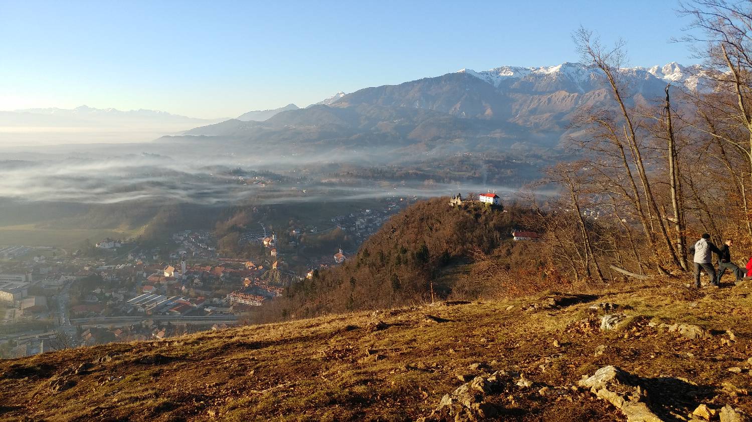
Trail description:If you have your back to the Health Centre, keep to the right. The path will take you first along the pavement and then along a narrow street between the houses. The path will take you all the way to the ring road, which you will walk along for a few dozen metres, and then you will see a trail sign on your right. Turn right here and go up the hill. The path will immediately become steep. The path through the forest is quite easy to follow, so there is no danger of getting lost. Just before the top, when you can see the Old Castle in front of you, the path will split. Here we keep to the right path, which will lead us to an asphalted road that will lead us back to the forest track on our left after just a few minutes' walk. From here, there is a final climb, along a slightly flatter forest track, and we will reach a grassy lookout point just a few metres before the official summit. Here you can rest and enjoy the magnificent view. The summit is only a minute's walk away, inside the forest.
Additional tips:No additional tips.
![[object Object] - [object Object] main photo](https://api.mountainsgeek.com/media/20180129_160003.jpg)


