



Sela nad Podmelcem - Tlaka (General)
0 h 20 min




 Weather
 Nearest webcam
| Rating: | |
| Country: | Slovenia |
| Mountain range: | Julian Alps |
| Trailhead: | Sela nad Podmelcem (830 m) |
| Destination: | Tlaka (911 m) |
| Trailhead latitude/longitude: | 46.1767 / 13.8155 |
| Destination latitude/longitude: | 46.174 / 13.8164 |
| Difficulty: | Easy unmarked route  |
| Recommended equipment: | Hiking shoes |
From Tolmin, we drive to Poljubinj, and from there we continue along the main road to Ljubinje. In the village, just past the Church of St. Michael, we turn left, then immediately right, and continue along the road, which makes two sharp turns (180 degrees). At the second turn, we’ll reach a fork in the road, where we’ll turn right; we’ll then stay on this road for quite a while, all the way to the village of Sela nad Podmelcem. Immediately upon entering the village, we’ll see a parking area on the right side of the road, where we’ll park.
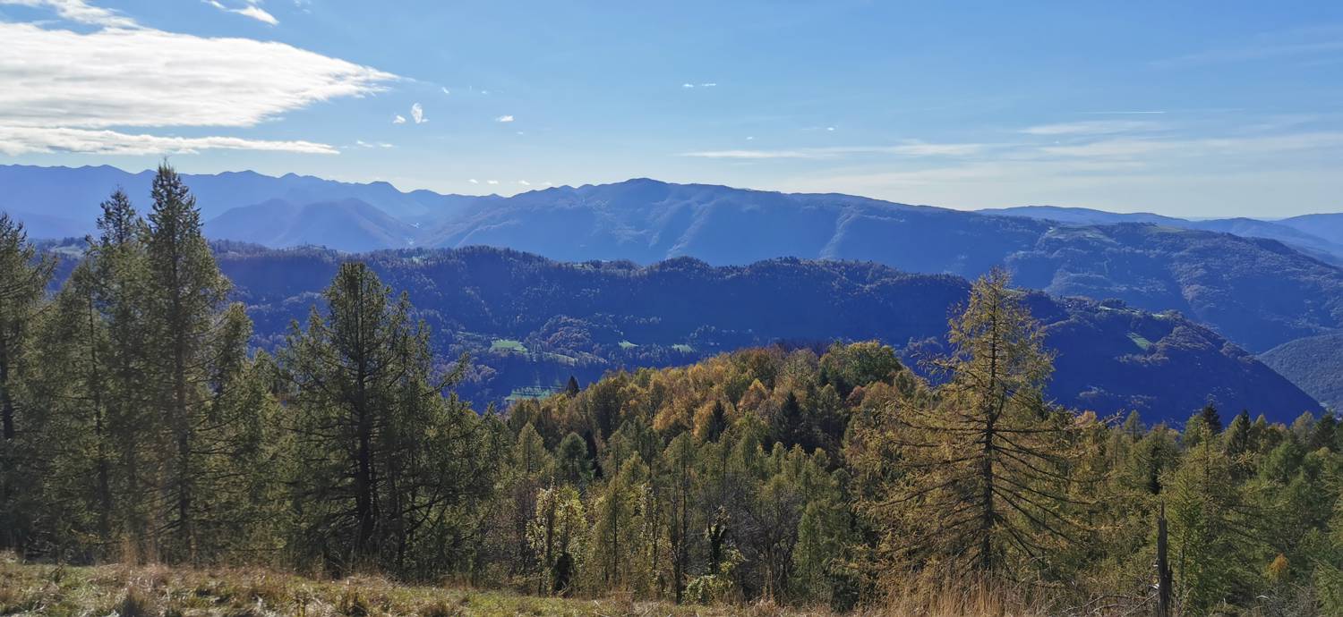
Trail description:On foot, we head toward the dirt road that leads past a wooden shack and a small grove of trees, onto a meadow, across which we climb to the summit.
Additional tips:No additional tips.
![[object Object] - [object Object] main photo](https://api.mountainsgeek.com/media/IMG_20221106_121144_bdj5Ii1.jpg)


