



Rifugio Casoni Solarie - Monte Ciucla (General)
0 h 30 min




 Weather
 Nearest webcam
| Rating: | |
| Country: | Italy |
| Mountain range: | Julian Alps |
| Trailhead: | Rifugio Casoni Solarie (940 m) |
| Destination: | Monte Ciucla (816 m) |
| Trailhead latitude/longitude: | 46.1798 / 13.6603 |
| Destination latitude/longitude: | 46.1717 / 13.6513 |
| Difficulty: | Easy marked route  |
| Recommended equipment: | Hiking shoes Water |
From Tolmin, head toward Kobarid. Drive across the bridge over the Soča River, then take the second exit at the roundabout. Drive to Ročinj, where you’ll turn right toward Kamreško. From there, turn right toward Solarji and drive to the Solarji hut, where you can park in the designated parking lot.
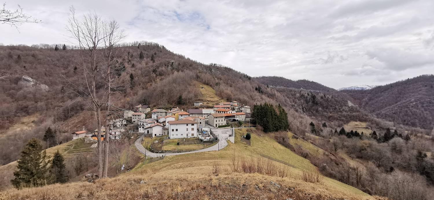
Trail description:On foot, follow the gravel road that passes by the hut; it turns into a dirt track and leads into the forest. In the forest, the path narrows and begins to descend. Follow the trail to the small village of Clabuzzaro. Walk down through the village to the parking lot, where you’ll see the summit of Ciucla ahead of you. A short climb across a meadow follows, and you’ll reach the summit.
Additional tips:No additional tips.
![[object Object] - [object Object] main photo](https://api.mountainsgeek.com/media/IMG_20230226_095533_1LpPJ0j.jpg)


