



Ročinj - Cerkev Svetega Pavla (General)
Mimo znamenj
0 h 50 min




 Weather
 Nearest webcam
| Rating: | |
| Country: | Slovenia |
| Mountain range: | The Goriška, Notranjska, and Snežnik Mountain Ranges |
| Trailhead: | Ročinj (125 m) |
| Destination: | Cerkev Svetega Pavla (400 m) |
| Trailhead latitude/longitude: | 46.1079 / 13.6696 |
| Destination latitude/longitude: | 46.1135 / 13.6608 |
| Difficulty: | Easy marked route  |
| Recommended equipment: | Hiking poles Hiking shoes Water |
From Tolmin, head toward Nova Gorica. Just past the end of the village of Ročinj, you’ll see a cemetery on the left, with a parking lot in front of it—that’s where you’ll park.
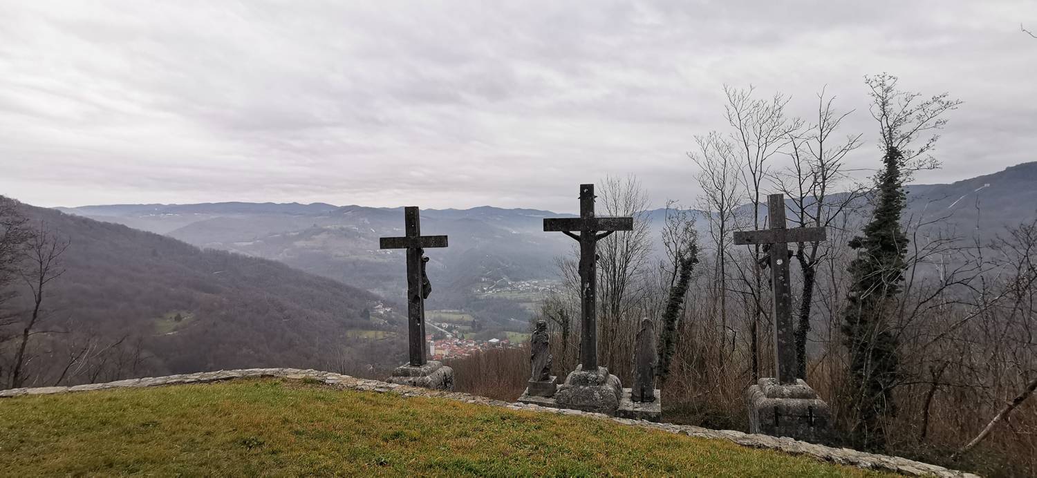
Trail description:We walk back to the village, cross the street at the crosswalk, and head uphill into the village. We walk to the center, where there is a church; we pass it on the left, then descend the slope to the last house, where we turn left. The path will soon become a gravel road. It leads into the forest and splits again. Take the left path, which soon splits again after a bend. This time, turn right toward Sveti Pavel, passing the wayside shrines. A climb through the woods follows, and you’ll arrive at the church.
Additional tips:No additional tips.
![[object Object] - [object Object] main photo](https://api.mountainsgeek.com/media/IMG_20230312_095756_Gvqv4sk.jpg)


