



Plati - Afendis (General)
Po cesti
3 h 30 min




 Weather
 Nearest webcam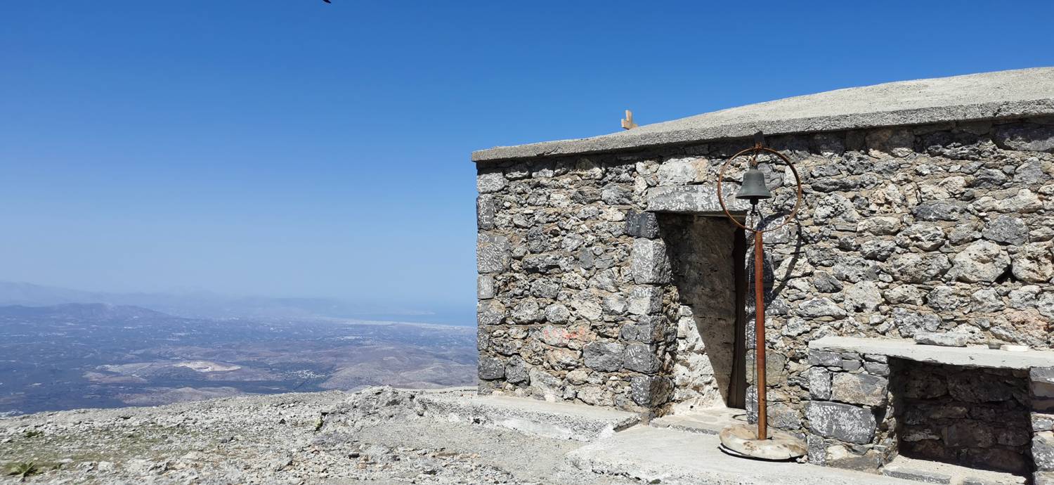
| Rating: | |
| Country: | Greece |
| Mountain range: | Lassithi Plateau |
| Trailhead: | Plati (870 m) |
| Destination: | Afendis (1578 m) |
| Trailhead latitude/longitude: | 35.1686 / 25.4374 |
| Destination latitude/longitude: | 35.1702 / 25.3993 |
| Difficulty: | Easy unmarked route  |
| Recommended equipment: | Hiking poles Hiking shoes Water Snack |
From Agios Nikolaos, head toward the Spathi Mountains. Drive to the village of Plati, where you can park in the designated, paved parking area.
Trail description:Walk up through the parking lot and immediately turn onto the road to the left. Follow the road uphill. When the terrain levels off a bit, you’ll already be able to see the summit of Afendis in the distance (you can see the antenna). Continue walking along the road, which will eventually lead you to a saddle. At the saddle, take the path on the right, which winds its way up to the summit.
Additional tips:No additional tips.
![[object Object] - [object Object] main photo](https://api.mountainsgeek.com/media/IMG_20220918_121040_euc05R2.jpg)


