



Plati - Afendis (General)
3 h 0 min




 Weather
 Nearest webcam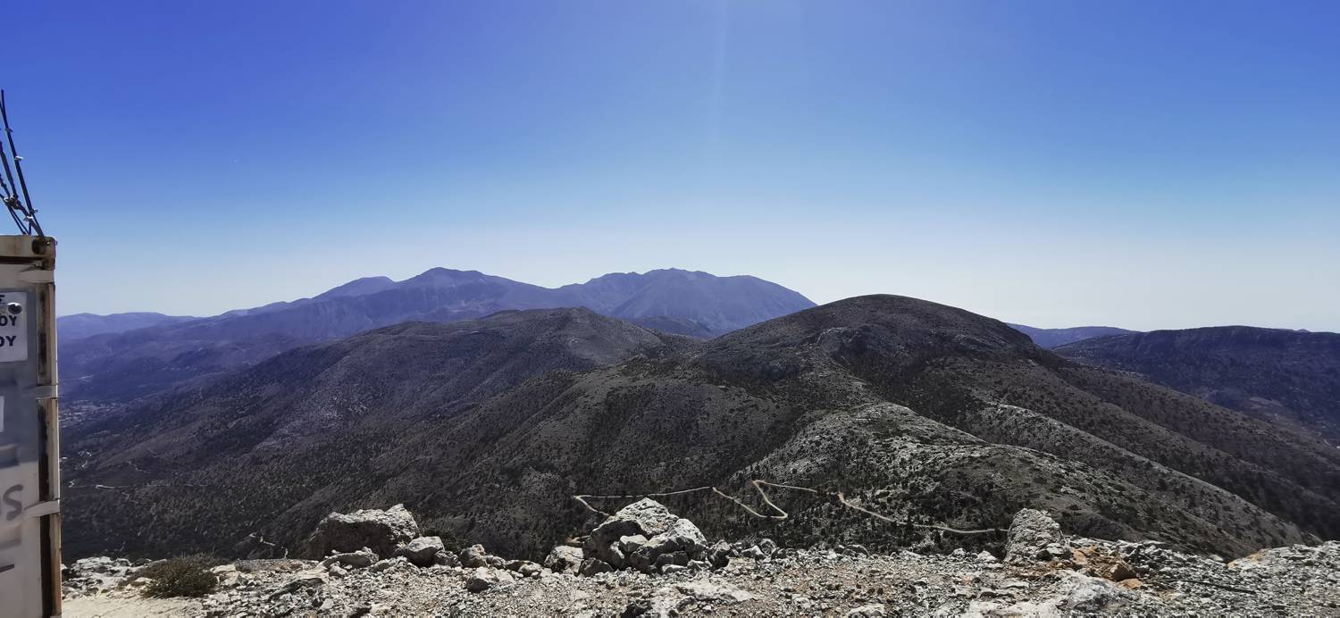
| Rating: | |
| Country: | Greece |
| Mountain range: | Lassithi Plateau |
| Trailhead: | Plati (870 m) |
| Destination: | Afendis (1578 m) |
| Trailhead latitude/longitude: | 35.1686 / 25.4374 |
| Destination latitude/longitude: | 35.1702 / 25.3993 |
| Difficulty: | Easy marked route  |
| Recommended equipment: | Hiking poles Hiking shoes Water Snack |
From Agios nikolaos, head towards the Spathi Mountains. Drive to the village of Plati and park here in a well-paved parking area.
Trail description:On foot, continue along the cobbled path, which is soon replaced by a concrete path that leads past the last houses and then turns to gravel. There is a short walk on macadam before it turns into a track and leads past a sheep pen. After this, the path becomes narrower and somewhat rocky. There is a longer walk along a forest track, which is sometimes poorly visible and in some places also poorly marked. It is best to follow the GPS track. The path then leads out of the forest, onto a dirt road. Cross the road and continue the climb over the grass, which is short. After this climb, you will come to the road again, but this time join it and continue along it all the way to the saddle. At the saddle, keep to the right-hand path, which winds up to the summit.
Additional tips:No additional tips.
![[object Object] - [object Object] main photo](https://api.mountainsgeek.com/media/IMG_20220918_121538_QtPYvhZ.jpg)


