



Lohača - Lipovec nad Lohačo (General)
0 h 40 min




 Weather
 Nearest webcam
| Rating: | |
| Country: | Slovenia |
| Mountain range: | The Goriška, Notranjska, and Snežnik Mountain Ranges |
| Trailhead: | Lohača (630 m) |
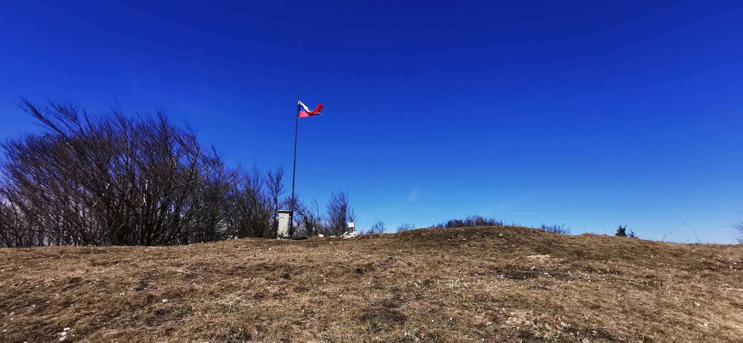
| Destination: | Lipovec nad Lohačo (1005 m) |
| Trailhead latitude/longitude: | 45.8263 / 14.2095 |
| Destination latitude/longitude: | 45.8423 / 14.1956 |
| Difficulty: | Easy unmarked route  |
| Recommended equipment: | Hiking shoes Water |
From Postojna, head toward Lohača. Upon arriving in the village, park on the left side of the main road, where you’ll see a parking area (a short distance past the bus stop).
Trail description:We cross the road on foot and set off along an ascending road that passes a few houses and soon turns into a gravel road. A longer climb along the gravel road follows, all the way to the saddle and the junction of several trails. We turn left and pass a small cross. Soon, a grassy path branches off to the right from the road, and we join it. A steep climb up the grass follows, after which we’ll reach our destination.
Additional tips:No additional tips.


