



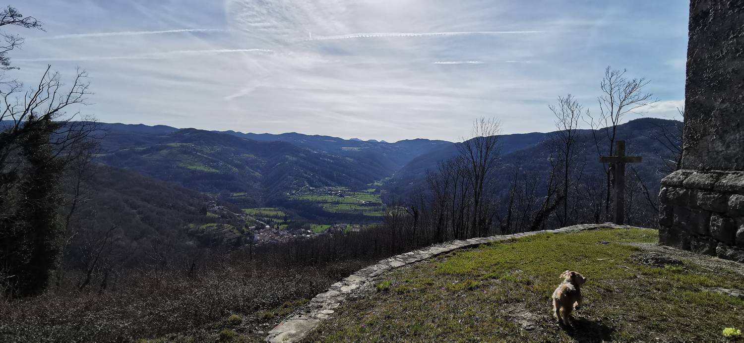
Ročinj - Cerkev Svetega Pavla (General)
Čez Preval
0 h 40 min




 Weather
 Nearest webcam
| Rating: | |
| Country: | Slovenia |
| Mountain range: | The Goriška, Notranjska, and Snežnik Mountain Ranges |
| Trailhead: | Ročinj (125 m) |
| Destination: | Cerkev Svetega Pavla (400 m) |
| Trailhead latitude/longitude: | 46.1079 / 13.6696 |
| Destination latitude/longitude: | 46.1135 / 13.6608 |
| Difficulty: | Easy marked route  |
| Recommended equipment: | Hiking poles Hiking shoes Water |
From Tolmin, head toward Nova Gorica. Just past the end of the village of Ročinj, you’ll see a cemetery on the left, with a parking lot in front of it—that’s where you’ll park.
Trail description:We walk back to the village, immediately cross the road, and join the narrower road that leads toward the houses in the village. We head toward the center of the village, where we pass the church on the left, then descend to the last house, where we turn left and join a dirt road. The dirt road soon forks; we take the right fork. Upon entering the forest, turn right onto the “Čez Preval” trail. A climb along a forest trail follows, leading up to the saddle. Here, you’ll find a junction of several trails; turn left and follow the path indicated by the sign for Sv. Pavla. A short climb follows, and you’ll reach your destination.
Additional tips:No additional tips.
![[object Object] - [object Object] main photo](https://api.mountainsgeek.com/media/IMG_20221229_103707.jpg)


