



Planina Kuhinja - Vojaška kapela Bes na Planici pod Krnom (General)
1 h 0 min




 Weather
 Nearest webcam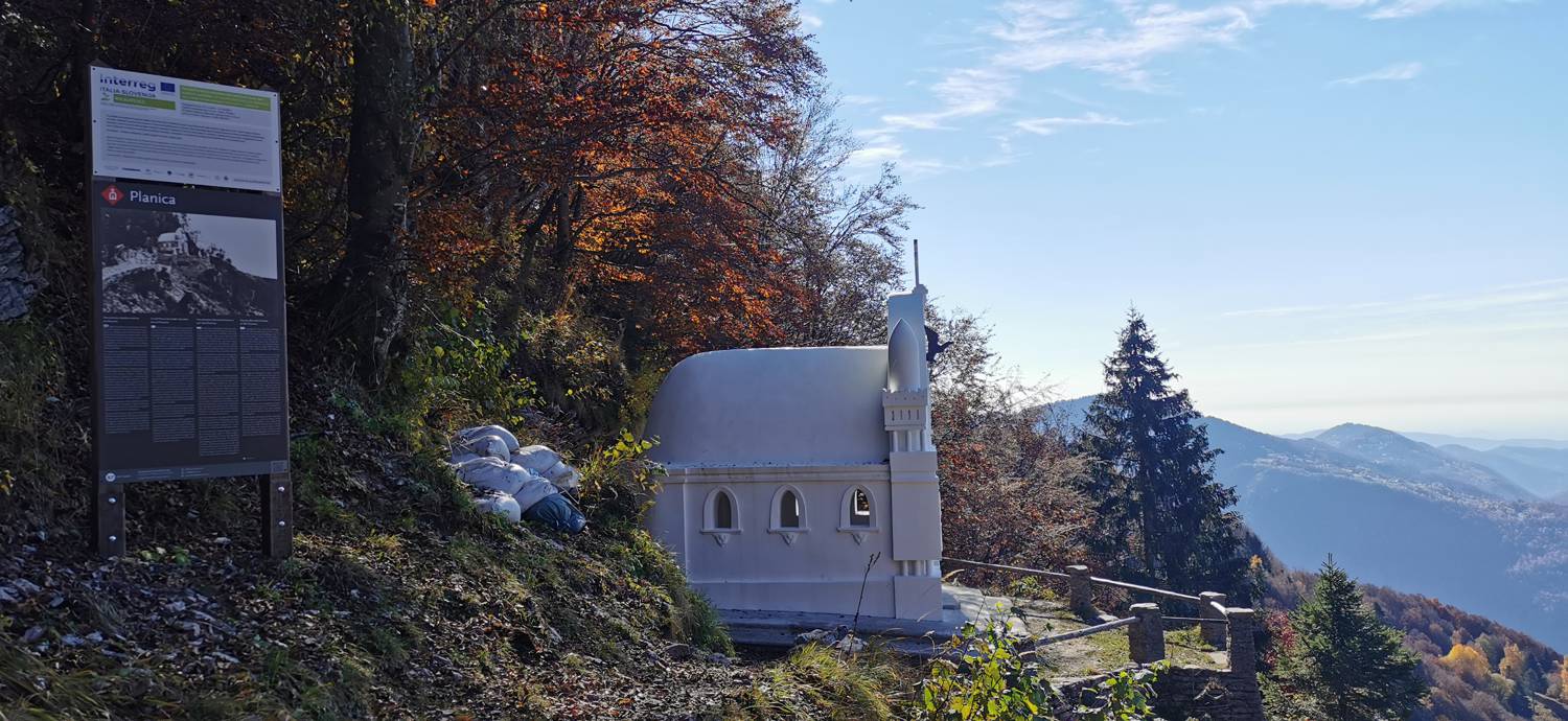
| Rating: | |
| Country: | Slovenia |
| Mountain range: | Julian Alps |
| Trailhead: | Planina Kuhinja (991 m) |
| Destination: | Vojaška kapela Bes na Planici pod Krnom (1220 m) |
| Trailhead latitude/longitude: | 46.2414 / 13.6629 |
| Destination latitude/longitude: | 46.2434 / 13.6438 |
| Difficulty: | Easy marked route  |
| Recommended equipment: | Hiking poles Hiking shoes Water |
OPTION 1: If you’re coming from Nova Gorica toward Tolmin, turn left at the only traffic-light-controlled intersection toward Zatolmin (if you’re coming from Most na Soči or Ljubljana, turn right at this intersection). Soon the road forks (you’ll see a park and a church at the fork), where you turn left (follow the blue sign for the campground). Continue straight along the road, through the entire town of Tolmin and the villages of Dolje, Gabrje, Volarje, and Selišče, until you reach the village of Kamno. Here, just before the end of the village, immediately after passing the bar on the right, turn right (signpost for the villages of Vrsno and Krn). Then follow this winding and increasingly narrow road through those villages and a little further to the parking lot just below the Kuhinja mountain pasture. Park here. OPTION 2: Drive into Tolmin and continue along the road toward Kobarid. When you reach the fork with a sign for Kamna, turn right. Drive across the bridge and continue along the increasingly narrow, ascending road toward the villages of Vrsno and Krn. After passing these villages, continue driving a few hundred meters until you reach the parking lot below the Kuhinja mountain pasture. Park here.
Trail description:From the parking lot, take the path on the far left and follow it to the Kuhinja Mountain Hut. Here, turn toward Krn, go through the gate, and continue along the grassy path. The path soon begins to climb. Follow it to the gravel road, where a sign for Planica directs you left onto the road, which is the continuation of your route. We follow the road for quite some time until a trail branching off to the left leads toward Planica, where we turn. The trail leads into the forest and soon turns left toward the chapel. We continue along it for quite some time until we emerge from the forest again. In one section, the trail is somewhat more challenging (dangerous) because it is steep, but it is secured with steel cables and supported by a wooden walkway. Once we emerge from the forest, we continue along the grassy path for a few more minutes until we reach our destination.
Additional tips:No additional tips.
![[object Object] - [object Object] main photo](https://api.mountainsgeek.com/media/IMG_20221113_102835.jpg)
![[object Object] - [object Object] main photo](https://api.mountainsgeek.com/media/IMG_20221113_102835_cPAX6EL.jpg)


