



Planina - Cerkev Sv. Marije na Planinski gori (General)
1 h 15 min




 Weather
 Nearest webcam
| Rating: | |
| Country: | Slovenia |
| Mountain range: | The Goriška, Notranjska, and Snežnik Mountain Ranges |
| Trailhead: | Planina (520 m) |
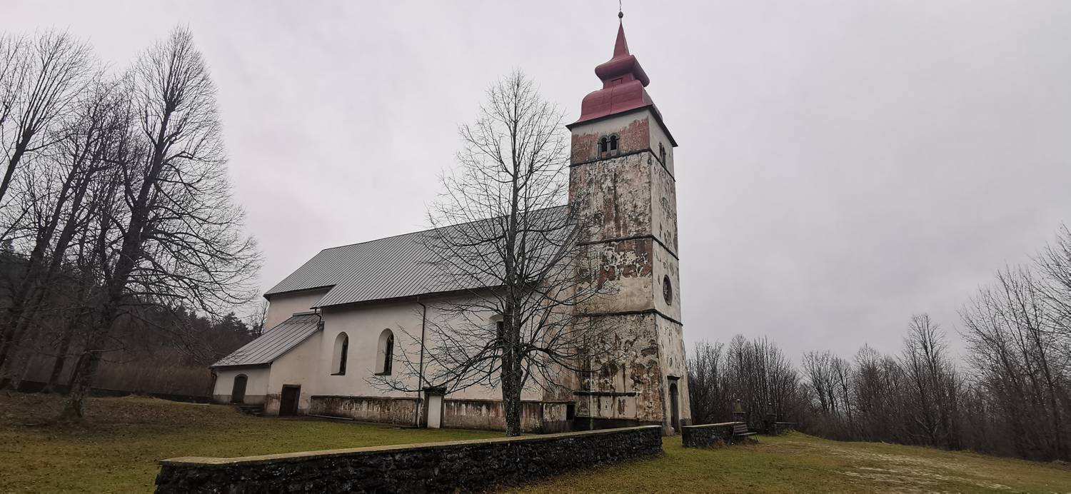
| Destination: | Cerkev Sv. Marije na Planinski gori (782 m) |
| Trailhead latitude/longitude: | 45.8265 / 14.2363 |
| Destination latitude/longitude: | 45.8374 / 14.2337 |
| Difficulty: | Easy marked route  |
| Recommended equipment: | Hiking poles Hiking shoes Water |
From Postojna, head toward the village of Planina. Shortly after entering the village, a road branching off to the left will lead to Strmca; turn there. Drive to a major intersection (there will be a large truck parking lot on your right), where you’ll turn right and drive across the bridge. Once you’ve crossed the bridge, you’ll see a parking area on your right—park there.
Trail description:Walk back across the bridge and immediately turn right onto the gravel road. Follow it until you reach a fork where a narrower path branches off to the right; turn there. The path leads into the forest and begins to climb steeply. A longer climb follows, but once the trail levels off somewhat, you’ll notice another trail joining from the right. Continue along the left trail; after a short walk, it will join another trail. Follow this path to a larger fork in the trail. Take the left path and continue along it to the church.
Additional tips:No additional tips.


