



Kato Chorio - Kapela preroka Helija (General)
po cesti
1 h 15 min




 Weather
 Nearest webcam
| Rating: | |
| Country: | Greece |
| Mountain range: | |
| Trailhead: | Kato Chorio (105 m) |
| Destination: | Kapela preroka Helija (295 m) |
| Trailhead latitude/longitude: | 35.0475 / 25.7891 |
| Destination latitude/longitude: | 35.0429 / 25.7921 |
| Difficulty: | Easy marked route  |
| Recommended equipment: | Hiking poles Hiking shoes Water |
Drive to the village of Kato Chorio. From there, turn toward the Church of Agia Trias. Park along the road that runs past the church.
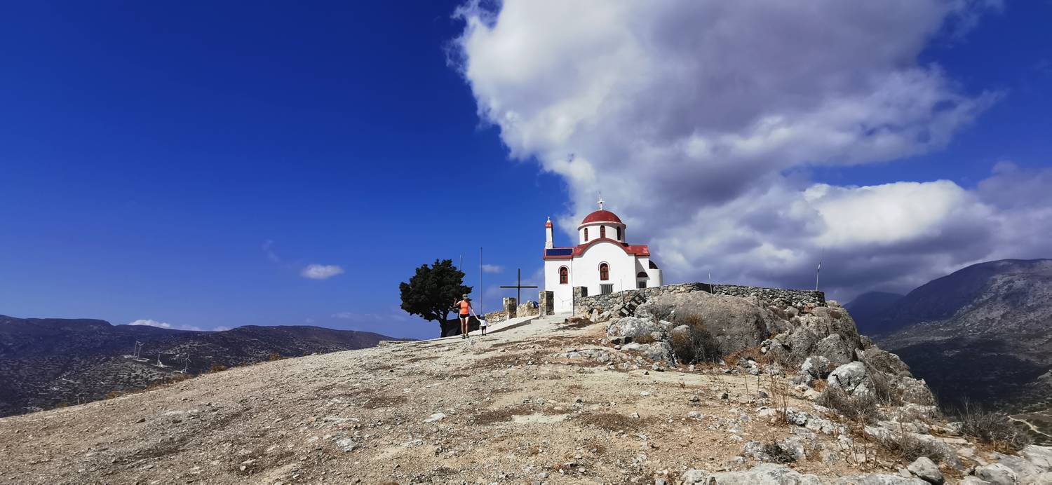
Trail description:On foot, head uphill along the road. The road soon levels out and leads to a fork. Keep to the right, and shortly after that, turn right again. Follow the road all the way to the fork on the left toward the chapel, where a signpost will also direct you. You’ll pass the church on your right, then take another right turn. From here, the path begins to climb and turns into a gravel road. A longer stretch along the gravel road follows, which makes up most of the route. When you reach a larger fork marked with signs, keep to the left. You’ll soon come to a small church, but continue along the road, which will soon lead you to the chapel.
Additional tips:No additional tips.
![[object Object] - [object Object] main photo](https://api.mountainsgeek.com/media/IMG_20220907_152143_w6czg3S.jpg)


