



Sveti Štefan - Hom (General)
Peš pot
0 h 50 min




 Weather
 Nearest webcam
| Rating: | |
| Country: | Slovenia |
| Mountain range: | The Polhograj Hills and Ljubljana |
| Trailhead: | Sveti Štefan (360 m) |
| Destination: | Hom (715 m) |
| Trailhead latitude/longitude: | 46.1416 / 14.3705 |
| Destination latitude/longitude: | 46.1393 / 14.3599 |
| Difficulty: | Easy marked route  |
| Recommended equipment: |
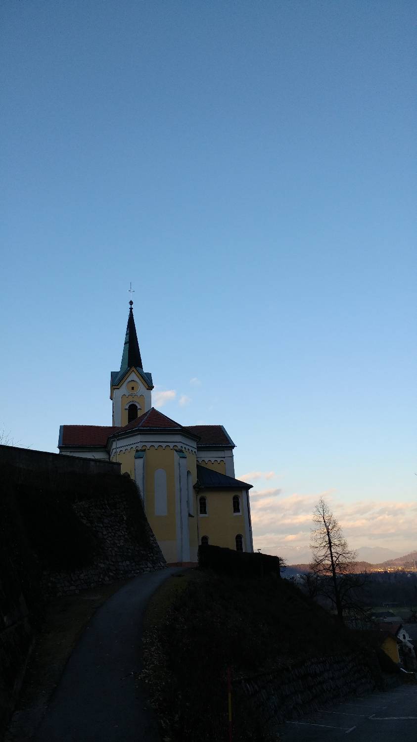
Coming from Ljubljana, drive to Medvode and turn left at the semaphorised crossroads, located a few tens of metres further from the larger Spar centre. Continue along the main road, which will lead you to the village of Sora. From here, head towards the village of Osolnik, but do not continue driving to it, but park at the end of Sora in the car park next to the Church of St Stephen.
Trail description:From here, continue on foot along the road. When the road turns sharp left, keep your eyes peeled, as a narrow forest track will soon branch off to the right from here. Continue along the well-marked path (signposted Hom and Osovnik). The path is a bit steeper at first, but then it flattens out. At the fork, keep to the right path, which soon splits again and we turn right again. There is just one last climb and we will reach the top of Homa.
Additional tips:No additional tips.


