



Lovska koča Lasce - Vrhovec (Šebreljski vrh) (General)
0 h 50 min




 Weather
 Nearest webcam
| Rating: | |
| Country: | Slovenia |
| Mountain range: | The Škofja Loka and Cerkno Hills and Jelovica |
| Trailhead: | Lovska koča Lasce (765 m) |
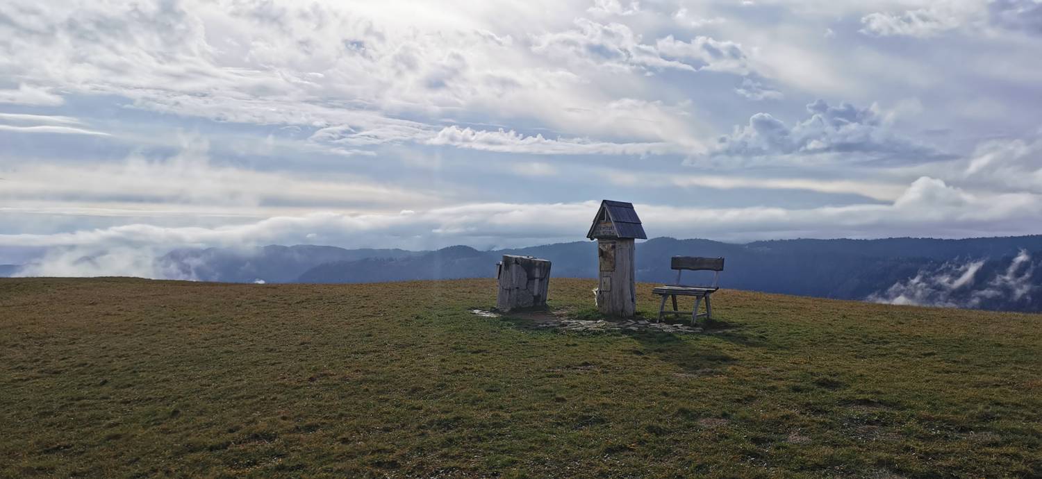
| Destination: | Vrhovec (Šebreljski vrh) (1079 m) |
| Trailhead latitude/longitude: | 46.081 / 13.9131 |
| Destination latitude/longitude: | 46.0634 / 13.9108 |
| Difficulty: | Easy unmarked route  |
| Recommended equipment: | Hiking poles Hiking shoes Water |
From Tolmin, drive toward Most na Soči. Here, turn left and continue along the main road all the way to the Stopnik restaurant, just past which a road will branch off to the right. Turn right and drive across the bridge. Continue up the ascending road to Šebrelj. In the village, turn right and continue to the next major intersection, where you’ll take the right-hand road, which will make a sharp turn. Continue on to the Lasce hunting lodge, where you can park in the parking lot in front of the lodge.
Trail description:Continue on foot along the initially flat gravel road, which soon begins to climb. Keep to the right the entire way until you reach a solitary house, where you turn left onto a grassy path that leads into the forest. In the woods, at the fork, take the left path, which soon leads out of the woods onto grassy areas. A short, steep climb follows, and you’ll reach the summit.
Additional tips:No additional tips.
![[object Object] - [object Object] main photo](https://api.mountainsgeek.com/media/IMG_20240602_084000.jpg)


