



Koseč - Planica pod Krnom (General)
2 h 0 min




 Weather
 Nearest webcam
| Rating: | |
| Country: | Slovenia |
| Mountain range: | Julian Alps |
| Trailhead: | Koseč (580 m) |
| Destination: | Planica pod Krnom (1376 m) |
| Trailhead latitude/longitude: | 46.2499 / 13.6219 |
| Destination latitude/longitude: | 46.2483 / 13.6401 |
| Difficulty: | Easy unmarked route  |
| Recommended equipment: | Hiking poles Hiking shoes Water Snack |
From Kobarid, drive to Napoleon’s Bridge and follow the signs for the village of Drežnica (left). Drive through the forest for 10 minutes, after which you’ll arrive in the village of Drežnica. Behind the sports field, at the intersection, turn right and follow the road to Koseč. At the last house before the larger bridge, you’ll see a parking spot on the left. You can also park in the parking lot—a few dozen meters before this house, there’s a left turn; take it and follow the road to the designated parking lot (in this case, do not take the path that climbs up next to the bridge at the start; instead, take the path indicated by the signpost, and you’ll soon join the route described below—before entering the forest).
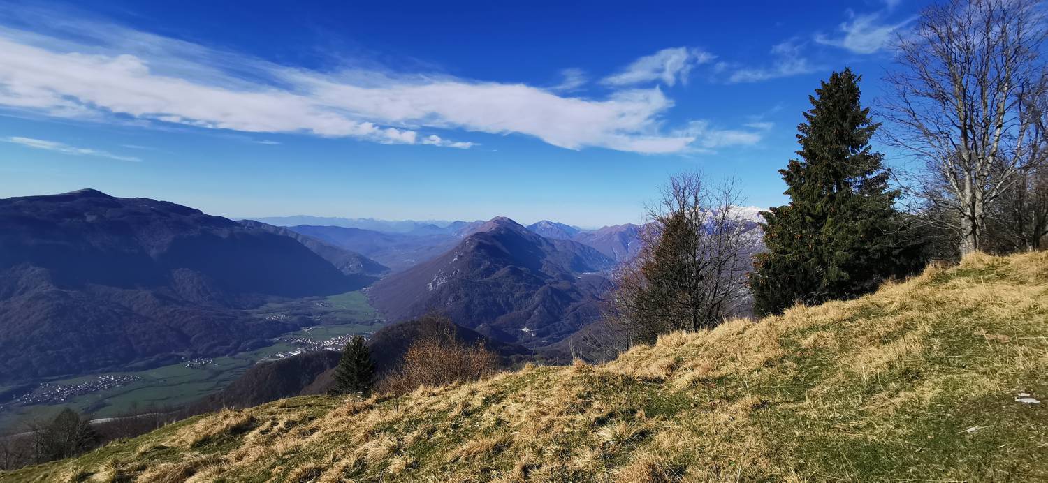
Trail description:Set out on foot along the ascending trail, which turns left before the bridge. Follow the trail—which soon turns into a dirt road—past the last houses and into the forest. Shortly after entering the forest, the trail will fork; take the right fork, which crosses a stream and then begins to climb. After a few minutes of climbing, you’ll reach another fork, where you should take a sharp left, as indicated by a signpost. A longer climb follows, after which you’ll reach another fork where you’ll take another sharp left turn. Shortly after the turn, you’ll reach a meadow; cross it and, on the other side, look for the path that leads back into the forest. A short climb follows, after which the forest thins out again and the trail splits. Turn left and climb up to the chapel. Go around the chapel on the left, where the trail continues. A short walk across grassy areas follows; at the fork, turn left and begin the ascent up the meadow. From here on, the trail is no longer marked. After this ascent, you’ll reach the summit.
Additional tips:No additional tips.
![[object Object] - [object Object] main photo](https://api.mountainsgeek.com/media/IMG_20221113_105248_vU5PvyY.jpg)
![[object Object] - [object Object] main photo](https://api.mountainsgeek.com/media/IMG_20221113_105216_ft8pnZh.jpg)


