



Kato Chorio - Kapela preroka Helija (General)
1 h 0 min




 Weather
 Nearest webcam
| Rating: | |
| Country: | Greece |
| Mountain range: | |
| Trailhead: | Kato Chorio (105 m) |
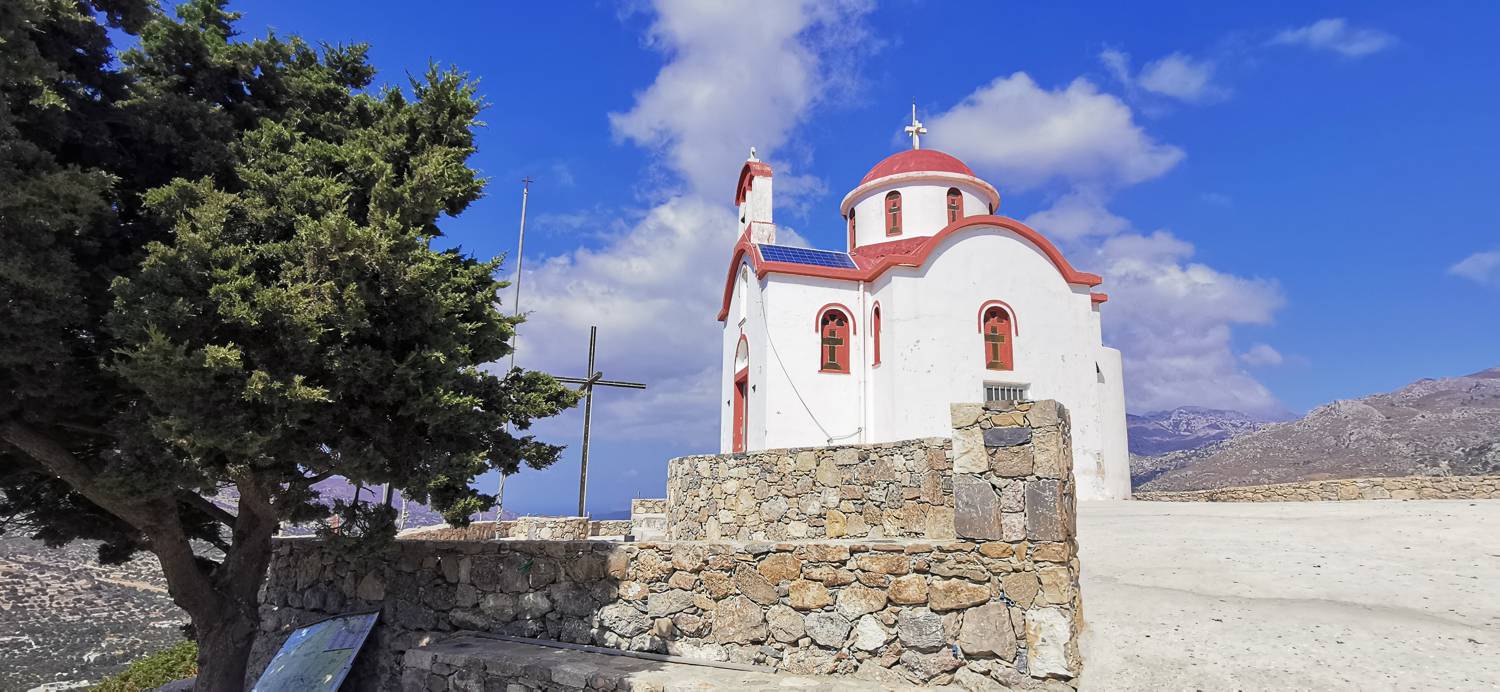
| Destination: | Kapela preroka Helija (295 m) |
| Trailhead latitude/longitude: | 35.0475 / 25.7891 |
| Destination latitude/longitude: | 35.0429 / 25.7921 |
| Difficulty: | Easy marked route  |
| Recommended equipment: | Hiking poles Hiking shoes Water |
Drive to the village of Kato Chorio. From there, turn toward the Church of Agia Trias. Park along the road that runs past the church.
Trail description:From here, walk uphill, then turn right up the stairs. Climb up to the side of the house, where you’ll turn left and head down the slope. At the first possible turn, turn right and begin climbing again. After a short walk, the path will become a gravel road; just before the gravel road, a narrow trail will branch off to the left—turn onto it. Follow the marked trail, which will lead you back to the gravel road. Walk along it until you reach a narrow path on your left, which you should join. A longer climb follows, leading to the chapel.
Additional tips:No additional tips.
![[object Object] - [object Object] main photo](https://api.mountainsgeek.com/media/IMG_20220907_152627_0JA3E2D.jpg)


