



Trnovec - Osolnik (General)
1 h 15 min




 Weather
 Nearest webcam
| Rating: | |
| Country: | Slovenia |
| Mountain range: | The Polhograj Hills and Ljubljana |
| Trailhead: | Trnovec (390 m) |
| Destination: | Osolnik (858 m) |
| Trailhead latitude/longitude: | 46.124 / 14.3539 |
| Destination latitude/longitude: | 46.1319 / 14.3345 |
| Difficulty: | Easy marked route  |
| Recommended equipment: |
Coming from Ljubljana, drive to Medvode and turn left at the semaphorised crossroads, located a few tens of metres further from the larger Spar centre. Continue along the main road, which will lead you to the village of Sora. Here, turn left again, towards the village of Topol. However, follow the road only as far as the village of Trnovec, where you will soon see a gravel parking area on the left side of the road and a signpost for Osolnik and Dom na Govejku on your right.
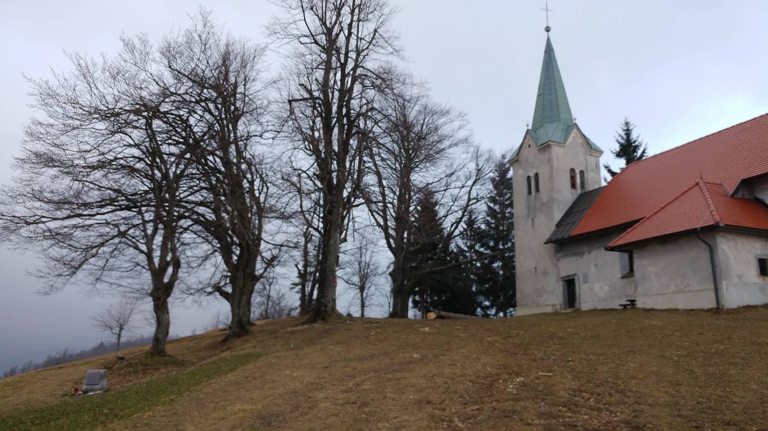
Trail description:Continue on foot along the macadam track, which you should also follow when you see the signpost along the way, which directs you to a narrow track to the left on Osovnik. Follow the path to the houses and turn left. After only a few dozen metres, the path will fork - we keep right, and immediately after that, we keep left. You will come to Domino's home, where you continue along the wooded path above the home. At the next crossroads, keep to the right path, which will lead you to the Osovnik log cabin after a few minutes' walk. Continue past it, straight along the main road, until the next signpost points right towards the top of Osovnik. There is one last rise and you will reach the top, where there is also a church with a registration box.
Additional tips:No additional tips.


