



Dragovica - Rebro (General)
Leva pot
0 h 30 min




 Weather
 Nearest webcam
| Rating: | |
| Country: | Slovenia |
| Mountain range: | Julian Alps |
| Trailhead: | Dragovica (535 m) |
| Destination: | Rebro (748 m) |
| Trailhead latitude/longitude: | 46.0396 / 13.662 |
| Destination latitude/longitude: | 46.0481 / 13.656 |
| Difficulty: | Easy unmarked route  |
| Recommended equipment: | Hiking poles Hiking shoes Water |
From Tolmin, we head toward Nova Gorica. Past the village of Kanal ob Soči, there’s a turnoff to the left toward Kanalski Vrh, Morsko, and the reservoir, where we turn off. A long climb along a winding road follows. When the road levels out, drive past Kanalski Vrh to Bate. Here, turn right and continue toward Grgarske Ravne. Turn right again here and drive to Dragovica. Here, we park by the spring on the left side of the road, where there is also a bulletin board.
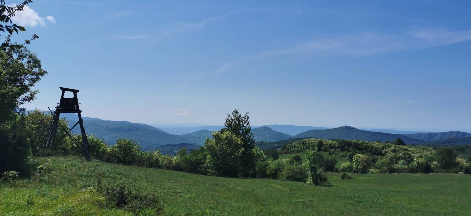
Trail description:From the parking lot, head back along the path you came from. Walk to the fork in the forest trail on the right—you’ll recognize it by the trash cans—and turn there. Immediately upon entering the forest, the trail will fork; turn right onto the narrower path and begin the ascent. A longer section of the trail follows—an ascent through the forest. Toward the end, sections of meadow begin, and in the final stretch, the forest gives way to a meadow, across which we ascend to the summit.
Additional tips:No additional tips.
![[object Object] - [object Object] main photo](https://api.mountainsgeek.com/media/IMG_20220515_110027_6N92Ppc.jpg)


